Lower Loon Airstrip Webcams (C53), Idaho
Lower Loon Airstrip Webcams (C53) – Frank Church Wilderness, Idaho
Watch the live Lower Loon Airstrip Webcams (C53) for real-time views of one of Idaho’s most scenic backcountry airstrips. Located deep within the Frank Church–River of No Return Wilderness, Lower Loon Airstrip provides access to remote wilderness, the Middle Fork Salmon River, and countless outdoor adventures that are unreachable by highway.
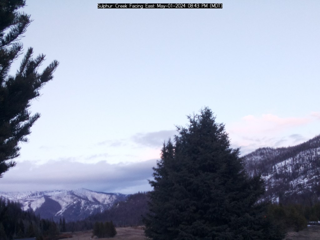
The live North and South webcam views give pilots and outdoor enthusiasts an excellent look at current runway conditions, mountain weather, and visibility before traveling into the backcountry. Idaho’s mountain weather can change quickly, and conditions at Lower Loon may be dramatically different than those at nearby communities or airports. The webcams help pilots monitor cloud cover, precipitation, smoke, snow, and runway conditions before departure.
Lower Loon Airstrip (C53) features a dirt runway measuring approximately 3,400 feet in length and sits at an elevation of about 3,400 feet above sea level. Operated by the U.S. Forest Service, the airstrip is one of several historic wilderness landing strips that make Idaho a world-renowned destination for backcountry aviation. Pilots use Lower Loon as a gateway to camping, hiking, fly fishing, rafting, hunting, and exploring the Frank Church Wilderness.
Unlike most airports, Lower Loon has no road access. Aircraft provide one of the few practical ways to reach this remote section of central Idaho, making current weather and runway information especially valuable. The webcams allow visitors to see actual conditions before committing to a wilderness flight.
Whether you’re preparing for a backcountry adventure or simply fascinated by Idaho’s legendary mountain airstrips, the Lower Loon Airstrip Webcams offer a remarkable live look into one of the state’s most remote and beautiful locations.
About Lower Loon Airstrip
Lower Loon Airstrip (FAA identifier C53) is one of Idaho’s classic backcountry airstrips, located within the Frank Church–River of No Return Wilderness in central Idaho. Surrounded by rugged mountains, dense forests, and the Middle Fork Salmon River corridor, the airstrip offers access to one of the largest protected wilderness areas in the lower 48 states. The dirt runway measures approximately 3,400 feet long by 100 feet wide and sits at an elevation of roughly 3,400 feet.
Originally developed to support Forest Service operations and wilderness access, Lower Loon has become a favorite destination for experienced backcountry pilots. Like many Idaho mountain airstrips, it requires careful planning, attention to density altitude, and awareness of changing weather conditions. There are no paved roads leading to the airstrip, making aviation one of the primary means of reaching this remote section of the wilderness.
The surrounding area is known for exceptional fly fishing, whitewater rafting, backpacking, wildlife viewing, horseback riding, and photography. Visitors come from around the country to experience the untouched landscapes of the Frank Church Wilderness, where elk, deer, black bears, bighorn sheep, and countless bird species thrive.
The three live webcam views provide an important planning tool for pilots by showing runway conditions, surrounding terrain, and current weather. They also allow outdoor enthusiasts to experience the beauty of Lower Loon from anywhere, offering a glimpse into one of Idaho’s most remarkable backcountry destinations before beginning their adventure.
See Idaho Backcountry Airstrip Webcams
Why Use These Webcams?
- Check runway conditions before flying into Lower Loon Airstrip.
- Monitor mountain weather and visibility.
- View the North, South, and West perspectives of the airstrip.
- Check for smoke, rain, snow, or low clouds.
- Plan backcountry camping, fishing, rafting, and hiking trips.
- Monitor seasonal conditions in the Frank Church Wilderness.
- Enjoy live views from one of Idaho’s most famous wilderness airstrips.
FAQ
Where are these webcams located?
The webcams are located at Lower Loon Airstrip (C53) within the Frank Church–River of No Return Wilderness in central Idaho.
Can I check runway conditions with these webcams?
Yes. The webcams provide live North, South, and West views of the runway and surrounding terrain, helping pilots evaluate current conditions before arriving.
Do the webcams show weather conditions?
Yes. The cameras are excellent for monitoring mountain weather, cloud cover, visibility, smoke, snow, and seasonal conditions in this remote wilderness area.
Are the webcams live?
Yes. The webcams update regularly throughout the day, providing current views of Lower Loon Airstrip and the surrounding Frank Church Wilderness.