Boston Back Bay Webcam – Live View from Dorchester Heights
Boston Back Bay Webcam from Dorchester Heights
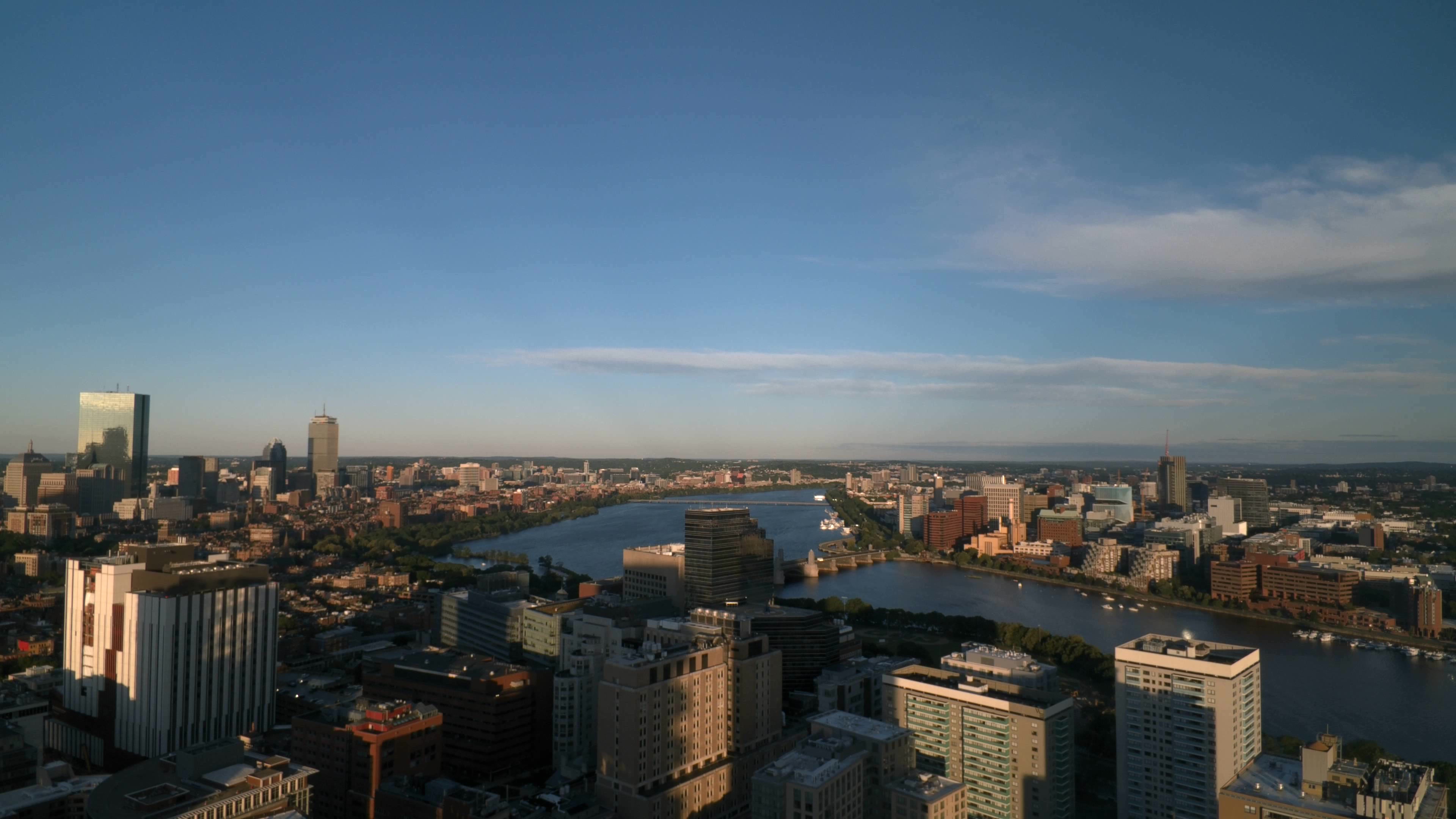
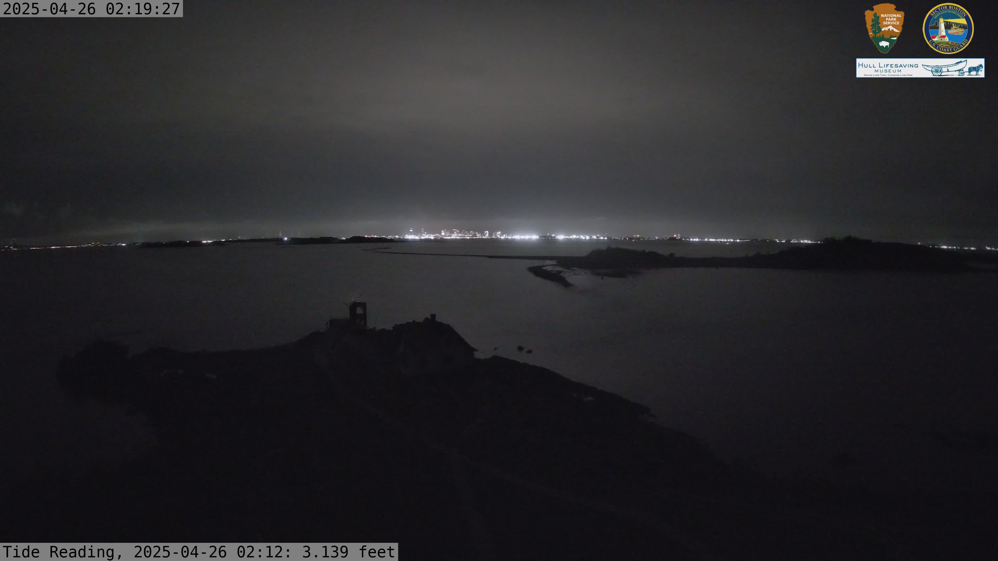
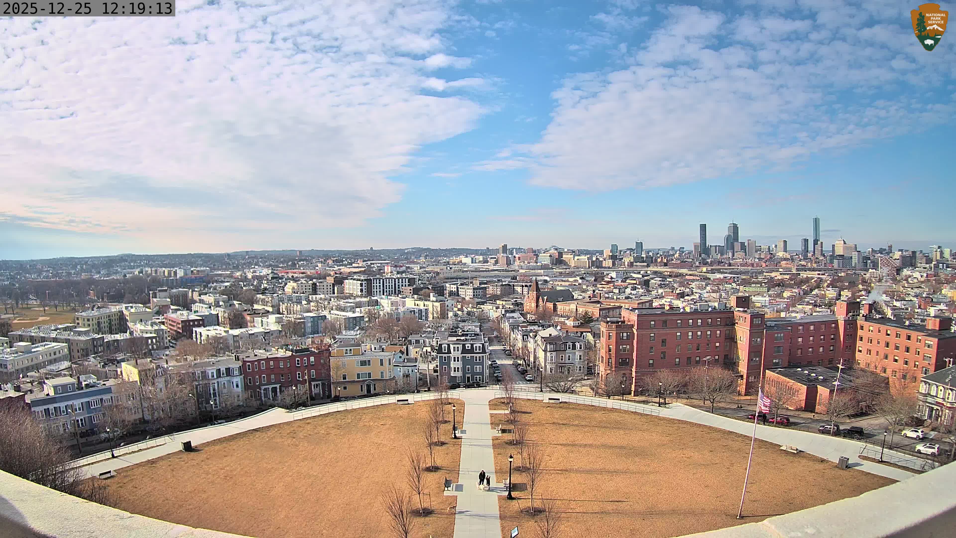
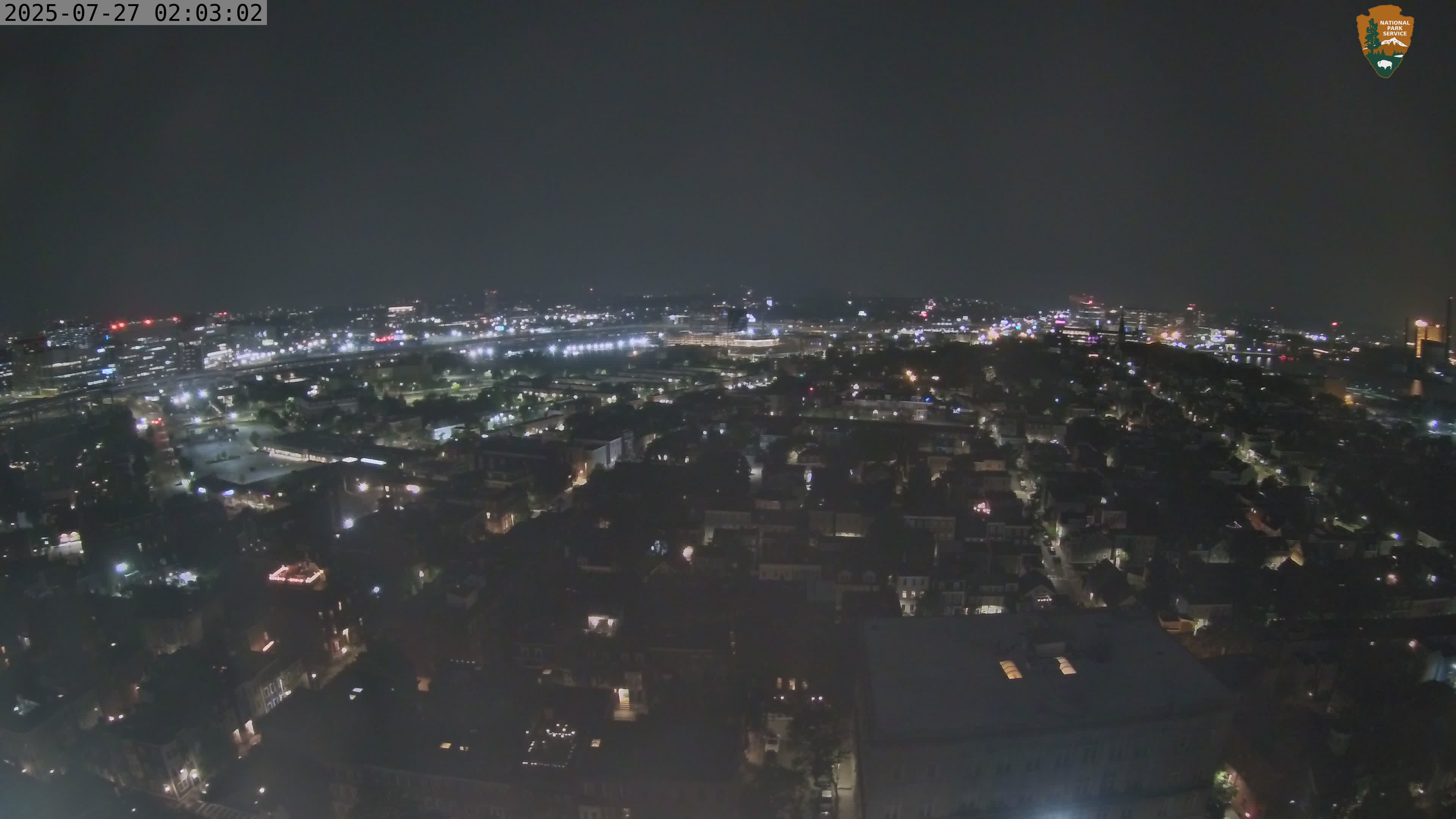
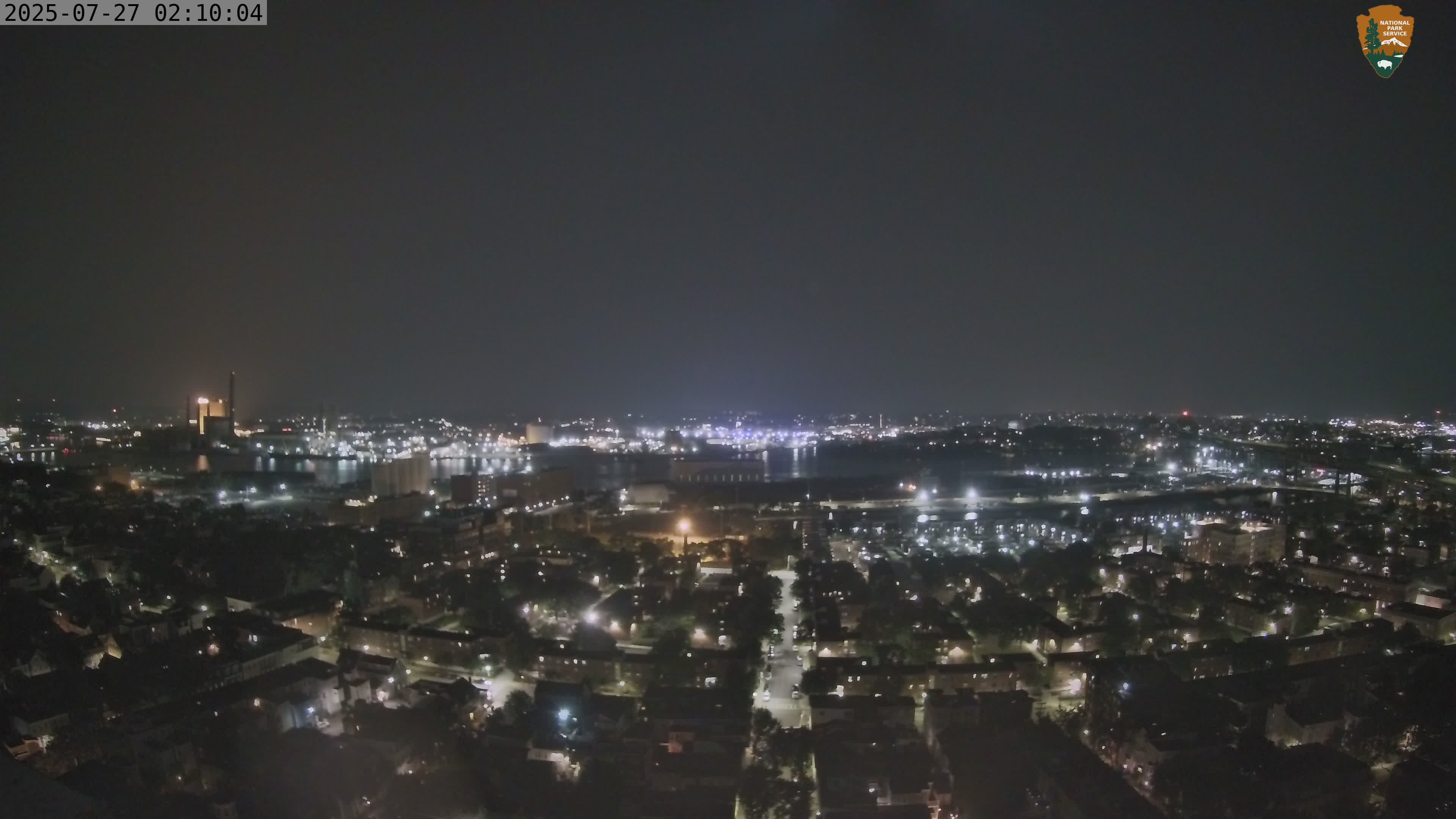
The Boston Back Bay Webcam from Dorchester Heights provides a live elevated view west across South Boston toward the Back Bay skyline, with portions of Roxbury and Dorchester extending across the surrounding cityscape. Positioned high on the historic Dorchester Heights Monument, the camera offers a sweeping perspective across some of Boston’s best-known neighborhoods.
The National Park Service identifies this camera as “Dorchester Heights Monument – Looking West,” but the distant Back Bay skyline gives the view a much more useful identity.
Thomas Park and the historic Dorchester Heights neighborhood fill the foreground, while the towers of Back Bay rise prominently beyond the surrounding rooftops.
Watch Boston’s Back Bay Skyline Live
Back Bay contains some of the most recognizable buildings in the Boston skyline.
From Dorchester Heights, the neighborhood’s high-rise buildings stand above the lower residential neighborhoods stretching west from South Boston.
The view changes considerably with atmospheric conditions.
Clear days can produce excellent visibility across Boston, revealing individual buildings and neighborhoods far into the distance. Haze, fog, low clouds, rain, and snow can dramatically shorten the view.
The webcam is particularly interesting during winter storms, when snow can cover Thomas Park, neighborhood rooftops, streets, and portions of the city beyond.
Summer produces an entirely different scene, with mature trees filling Thomas Park and the surrounding neighborhoods with greenery.
See Thomas Park and Historic South Boston
The foreground is just as interesting as the skyline.
The webcam looks across Thomas Park, the oval-shaped green space surrounding the summit of Dorchester Heights.
The park occupies the site where Continental forces constructed fortifications in March 1776 during the Siege of Boston.
Today, historic homes line the streets surrounding the park, creating one of South Boston’s most distinctive residential landscapes.
From this elevated location, the camera looks beyond South Boston toward Roxbury, Dorchester, and Back Bay.
The result is an unusually layered view of Boston.
The historic Revolutionary War landscape occupies the foreground. Nineteenth- and twentieth-century neighborhoods spread across the middle distance. Modern skyscrapers rise beyond them.
Few Boston webcams capture that combination quite as clearly.
About Boston’s Back Bay and Dorchester Heights
Back Bay is one of Boston’s most recognizable neighborhoods, known for its historic brownstones, broad avenues, prominent churches, shopping districts, and modern skyscrapers.
Remarkably, much of the neighborhood did not exist when Continental troops fortified Dorchester Heights in 1776.
The area now known as Back Bay was once largely tidal water and mudflats along the Charles River Basin.
During the 19th century, an enormous land reclamation project gradually filled the bay and created hundreds of acres of new land. Streets were laid out in a planned grid, and rows of Victorian brownstones transformed the new neighborhood.
Today, Back Bay combines that historic architecture with some of Boston’s tallest buildings.
From Dorchester Heights, the Back Bay towers rise above a broad swath of the city.
Closer to the webcam is Thomas Park, which surrounds the summit of Telegraph Hill.
This was the strategic high ground fortified by Continental forces during the Siege of Boston.
On the night of March 4, 1776, troops and volunteers moved artillery and fortification materials onto Dorchester Heights under orders from George Washington.
The position threatened British forces occupying Boston.
Unable to safely remain in the city with Continental artillery commanding the surrounding area and harbor approaches, British forces evacuated Boston on March 17, 1776.
The Dorchester Heights Monument now commemorates those events.
The west-facing webcam creates a fascinating visual connection between those different periods of Boston history. The Revolutionary War landscape lies immediately below the camera, while the modern Back Bay skyline rises in the distance.
It is a view across both the geography and history of Boston.
See Boston National Historical Park Webcams
Why Use the Boston Back Bay Webcam?
- Watch the Back Bay skyline live.
- View Thomas Park from Dorchester Heights.
- See the historic South Boston neighborhood.
- Look across Boston toward Roxbury and Dorchester.
- Check current visibility across the city.
- Watch fog, haze, rain, and snow affect the skyline.
- See seasonal changes around Thomas Park.
- Enjoy a live view combining historic and modern Boston.
Where is the Boston Back Bay Webcam located?
The webcam is located on the Dorchester Heights Monument atop Telegraph Hill in South Boston, Massachusetts. The camera faces west across the city.
What can I see on the webcam?
Thomas Park and the Dorchester Heights neighborhood appear in the foreground. The view extends west toward the Back Bay skyline, with Roxbury and Dorchester visible across portions of the surrounding landscape.
Can I see the Back Bay skyscrapers?
Yes. The high-rise buildings of Boston’s Back Bay are among the most prominent distant landmarks in the west-facing webcam view.
Why is Dorchester Heights important?
Continental forces fortified Dorchester Heights in March 1776 during the Siege of Boston. The position threatened British forces occupying the city and contributed to their evacuation of Boston on March 17.
Are there other Dorchester Heights webcams?
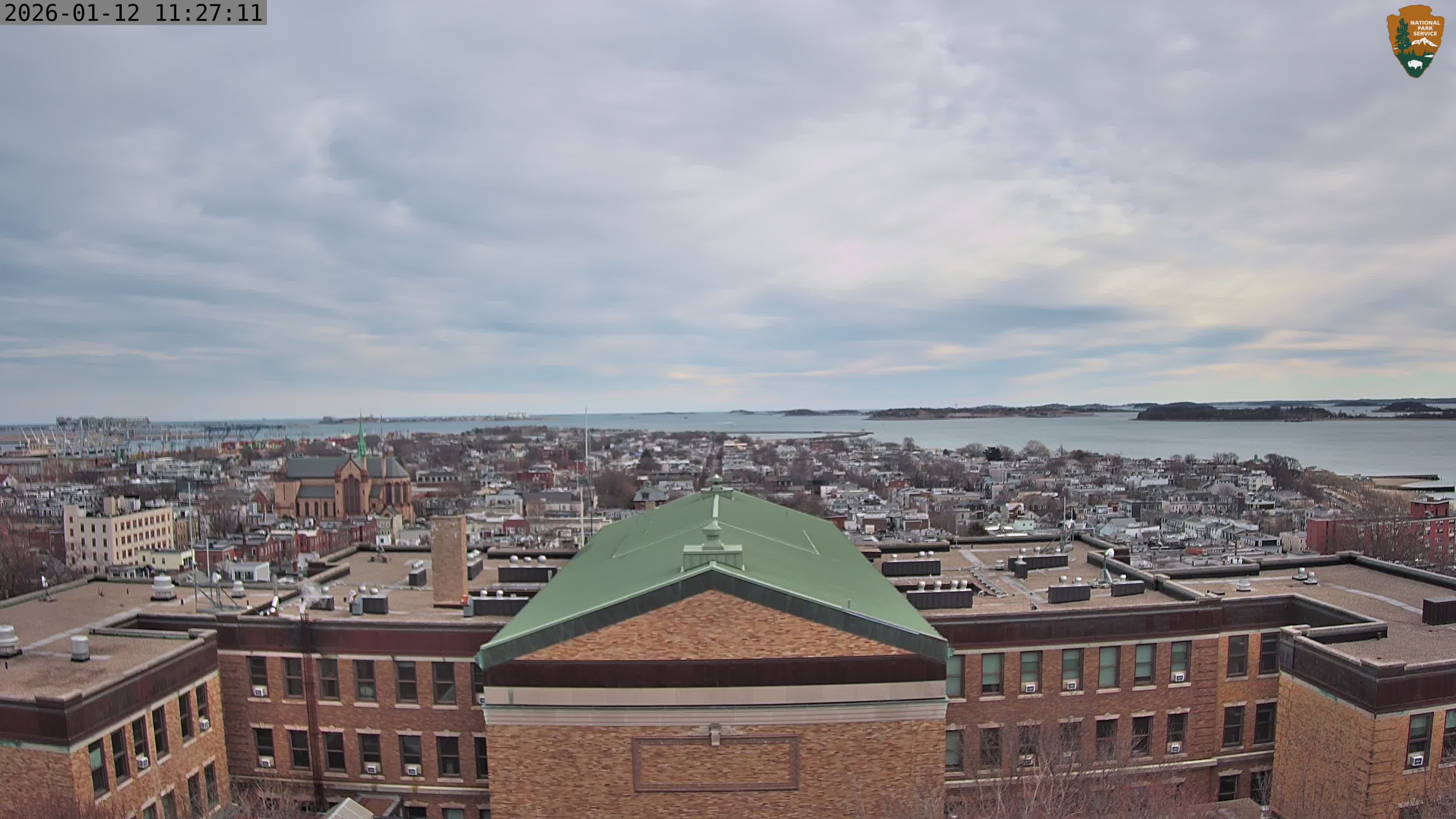
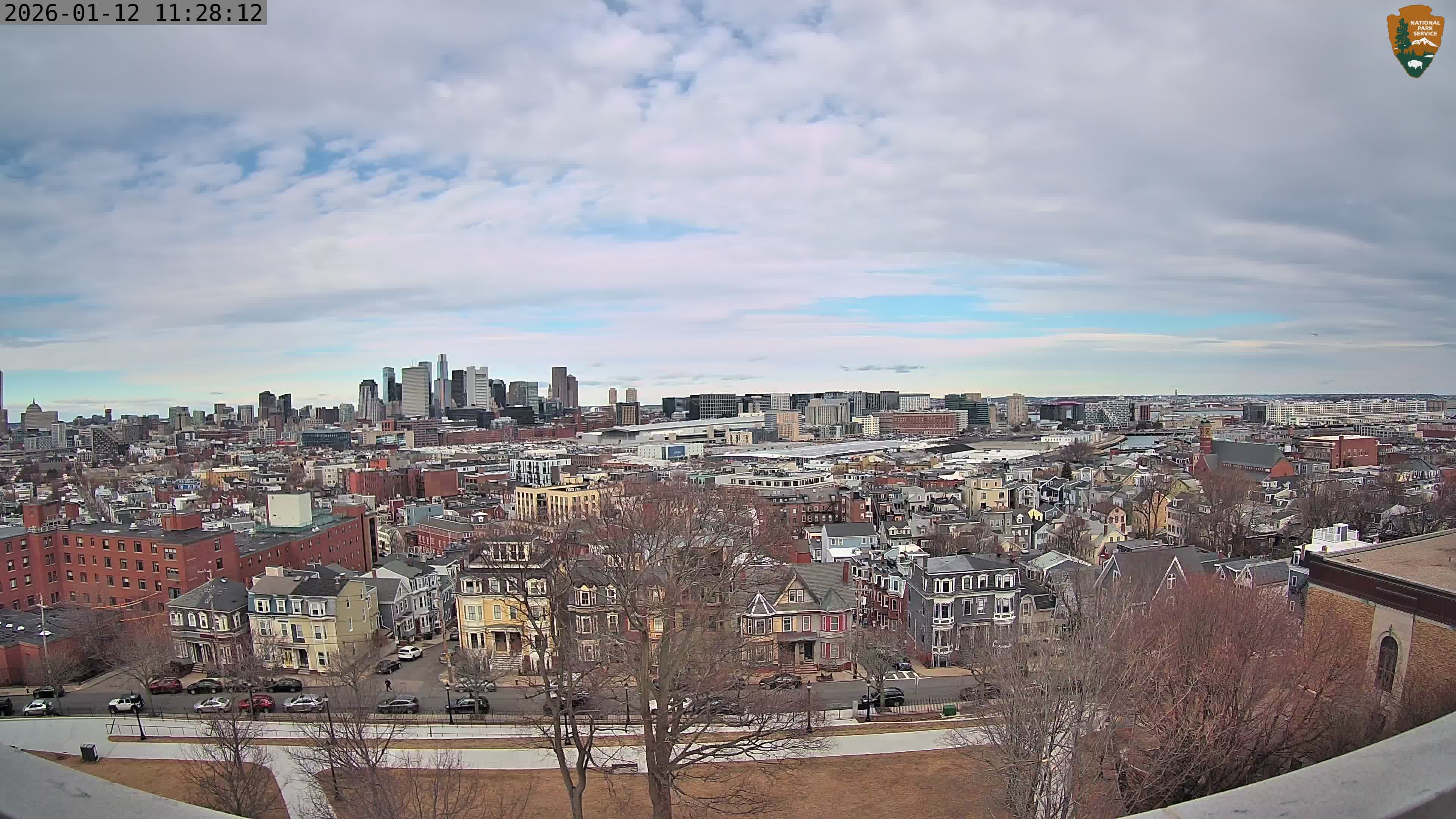
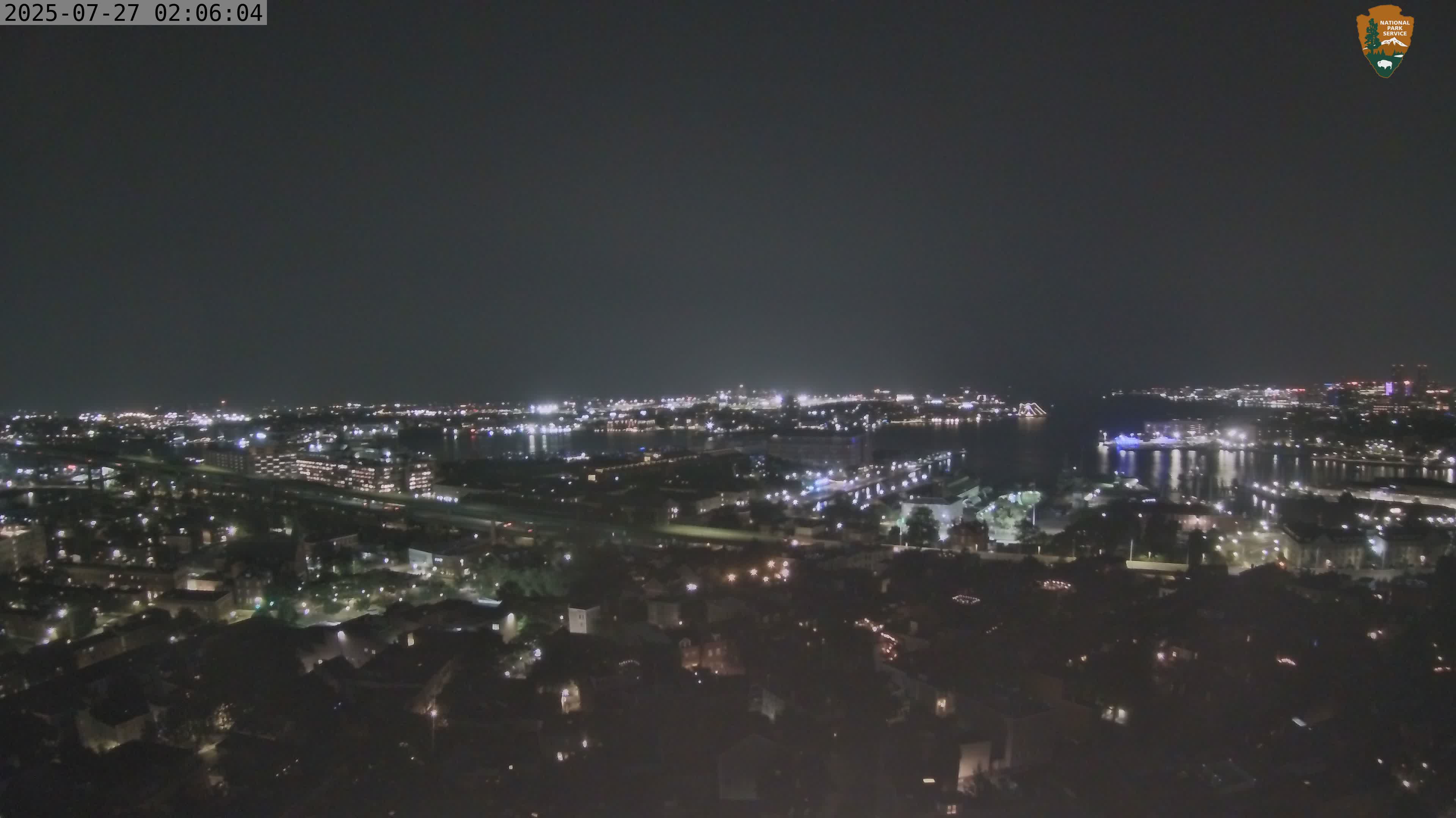
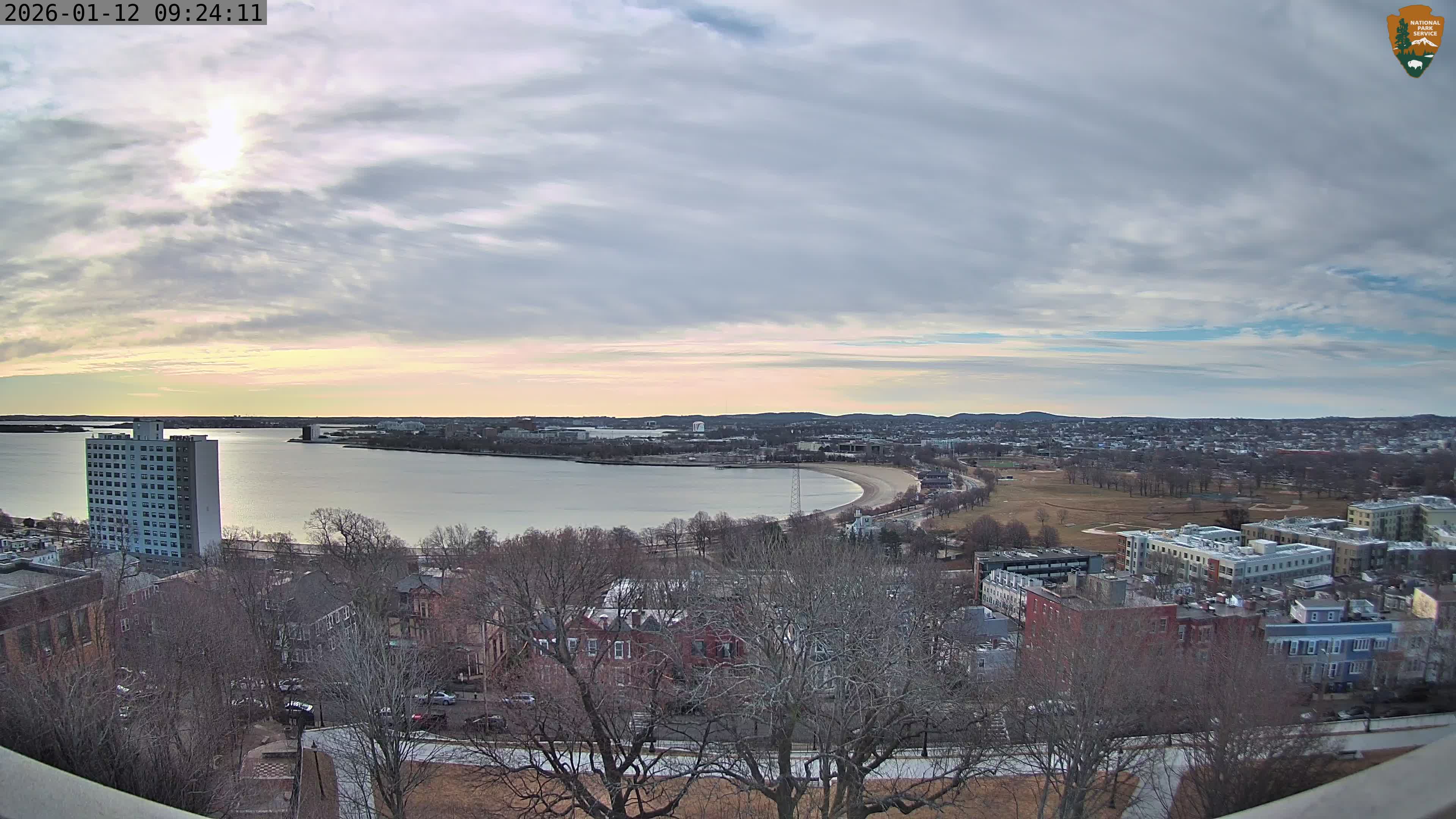
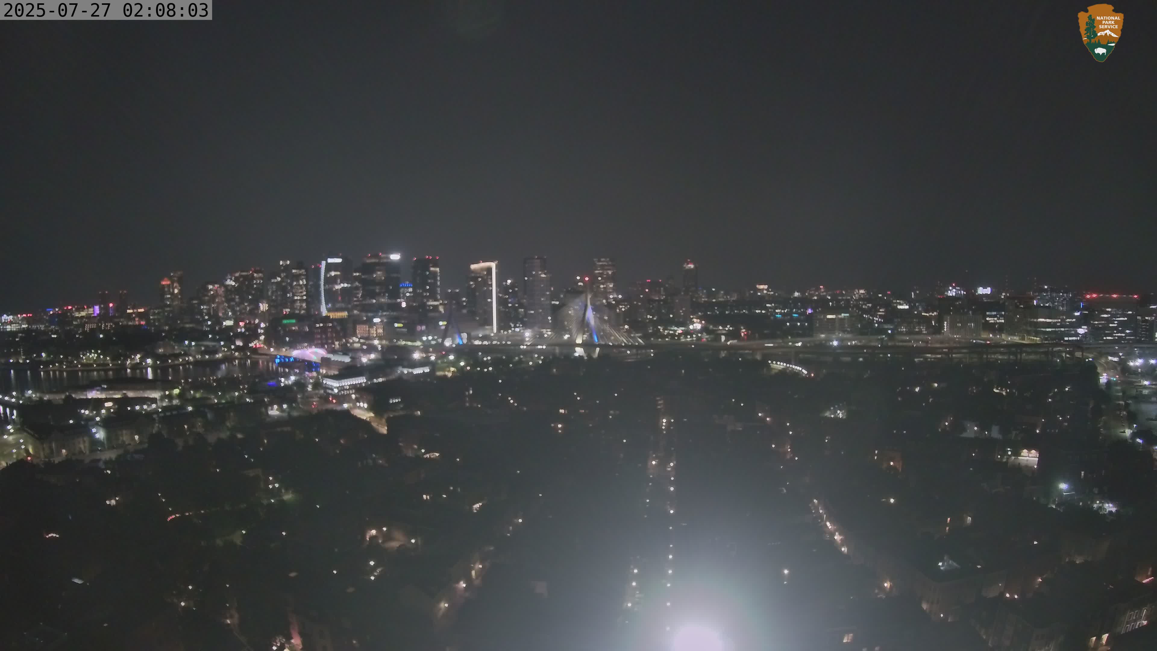
Yes. Four National Park Service webcams face north, east, south, and west from the Dorchester Heights Monument. Together they provide expansive views of downtown Boston, the Seaport, Boston Harbor, Carson Beach, Back Bay, and surrounding neighborhoods.
More Massachusetts Webcams