US-6 Helper & Price Canyon Traffic Webcams – Utah
Price Canyon, US-6 Westbound at Milepost 222.3
Price Canyon, US-6 at US-191, Milepost 229.82
Price Canyon, US-6 at US-191, Milepost 230.1
US-6 at 1000 North, Milepost 231.74
US-6 RWIS Eastbound at 200 North, Milepost 232.4
US-6 at Main St, Milepost 232.7
US-6 Helper & Price Canyon Traffic Webcams – Utah
View US-6 Helper and Price Canyon traffic webcams for updated highway traffic, weather, snow and road conditions in Carbon County, Utah. Utah Department of Transportation (UDOT) cameras provide roadway images along US Highway 6 through Price Canyon and the Helper area, helping motorists prepare for travel between Soldier Summit and Price.
US-6 is an important transportation corridor connecting Utah Valley and the Wasatch Front with eastern Utah. West of Helper, the highway descends through Price Canyon, a mountainous section of roadway known for its winding alignment, steep grades and changing weather conditions. Farther east, the highway reaches Helper and continues toward Price.
US-6 Price Canyon Traffic Cameras
The US-6 Price Canyon traffic cameras provide updated roadway images along the mountainous western approach to Helper.
Price Canyon is a rugged transportation corridor where US-6 passes through steep terrain, canyon walls and changing elevations.
Motorists traveling through this section may encounter commercial truck traffic, curves, highway grades and rapidly changing weather.
During winter, snow and ice can affect pavement conditions, particularly on shaded curves and higher-elevation sections.
Traffic cameras help travelers observe visible roadway conditions before entering the canyon or continuing toward Soldier Summit.
US-6 Helper Traffic Cameras
The US-6 Helper traffic cameras provide additional roadway views near the historic railroad community of Helper.
Helper is situated along the Price River in Carbon County, between Price Canyon and the city of Price.
The highway serves residents, commercial vehicles and travelers heading between the Wasatch Front and eastern Utah.
These cameras can help motorists observe traffic movement, pavement conditions and changing weather near Helper.
UDOT traffic cameras generally provide periodically updated still images rather than continuous streaming video.
Helper and Price Canyon Weather and Road Conditions
Weather conditions can vary considerably between Price Canyon, Helper and the higher elevations toward Soldier Summit.
Winter storms may bring snow, freezing temperatures, icy pavement and reduced visibility.
Price Canyon’s shaded curves and mountain grades can remain icy even when conditions in Helper or Price appear relatively clear.
Strong winds and blowing snow may create additional challenges during winter storms.
Spring brings variable temperatures, rainfall and occasional late-season snowfall in the surrounding mountains.
Summer is generally warm and dry, although thunderstorms can produce heavy rainfall, lightning and gusty winds.
Autumn brings cooler temperatures and the possibility of early winter weather.
Checking the US-6 Helper and Price Canyon traffic webcams before traveling can help motorists prepare for visible highway conditions.
About Helper, Price Canyon and US Highway 6
Helper and Price Canyon are located in Carbon County in eastern Utah, along the important US Highway 6 transportation corridor between Soldier Summit and Price.
Price Canyon forms part of the mountainous western approach to Helper, where the highway descends from the Wasatch Plateau toward the Price River valley.
The canyon is characterized by rugged rock formations, steep hillsides, winding roadway sections and dramatic changes in elevation.
US-6 follows this natural transportation corridor, connecting the communities of eastern Utah with Utah Valley and the Wasatch Front.
The highway carries commercial trucks, regional travelers, local residents and recreational visitors throughout the year.
Price Canyon has long played an important role in transportation across the Wasatch Mountains.
Railroad construction helped establish the corridor as a vital connection between Utah’s coal-producing communities and markets farther west.
The Denver and Rio Grande Western Railroad developed routes through this mountainous region, with steep grades requiring specialized railroad operations.
Helper developed during the late nineteenth century as a railroad center near the eastern end of the mountain crossing.
The community takes its name from the additional locomotives, known as helper engines, that assisted trains climbing the steep grades toward Soldier Summit.
Railroading and coal mining became central to Helper’s economy and cultural identity.
Workers and families from many different backgrounds settled in Carbon County, contributing to the region’s distinctive history and heritage.
Today, Helper is known for its historic Main Street, art galleries, murals and preserved railroad-era architecture.
The Helper Museum features exhibits exploring the area’s railroad, mining and community history.
The city has also developed a growing reputation as an arts destination, attracting visitors interested in galleries, studios and cultural events.
The surrounding landscape offers opportunities for scenic driving, hiking, photography, fishing and exploring Utah’s industrial heritage.
US-6 continues east from Helper toward Price, the county seat of Carbon County, where travelers can find additional shopping, lodging and services.
Westbound motorists climb through Price Canyon toward Soldier Summit, one of the highest highway crossings along this route.
The elevation changes between Helper, Price Canyon and Soldier Summit contribute to considerable differences in weather conditions.
Winters can bring snow, freezing temperatures, icy pavement and reduced visibility.
Mountain sections of the highway may experience more severe winter weather than the lower elevations near Helper and Price.
Spring brings variable temperatures, occasional rainfall and late-season snowfall at higher elevations.
Summers are generally warm and dry, although thunderstorms can produce heavy rainfall, lightning and strong winds.
Autumn brings cooler temperatures and colorful mountain scenery before winter weather returns.
Because US-6 is a major regional transportation route, motorists should remain alert for commercial truck traffic, curves, highway grades and changing weather.
UDOT maintains traffic cameras along the highway to provide updated roadway images and help motorists observe visible traffic and weather conditions.
The US-6 Helper and Price Canyon traffic webcams offer a convenient resource for checking conditions before traveling through this important Carbon County corridor.
Utah Highway Webcams
Utah Interstate Webcams
Utah US Highway Webcams
Utah State Highway Webcams
UT-7
UT-8
UT-9
UT-10
UT-12
UT-13
UT-14
UT-18
UT-20
UT-21
UT-24
UT-25
UT-26
UT-28
UT-30
UT-31
UT-32
UT-34
UT-36
UT-37
UT-39
UT-42
UT-43
UT-44
UT-45
UT-46
UT-48
UT-51
UT-52
UT-55
UT-56
UT-59
UT-62
UT-63
UT-65
UT-66
UT-68
UT-71
UT-72
UT-73
UT-74
UT-75
UT-77
UT-79
UT-83
UT-85
UT-87
UT-88
UT-92
UT-95
UT-97
UT-102
UT-105
UT-106
UT-107
UT-108
UT-109
UT-111
UT-112
UT-113
UT-114
UT-115
UT-120
UT-121
UT-126
UT-127
UT-129
UT-130
UT-132
UT-138
UT-140
UT-142
UT-143
UT-144
UT-147
UT-150
UT-151
UT-152
UT-154
UT-156
UT-157
UT-158
UT-160
UT-164
UT-165
UT-171
UT-172
UT-173
UT-175
UT-177
UT-178
UT-179
UT-180
UT-186
UT-190
UT-193
UT-194
UT-196
UT-198
UT-199
UT-201
UT-203
UT-204
UT-208
UT-209
UT-210
UT-218
UT-224
UT-232
UT-235
UT-241
UT-248
UT-252
UT-257
UT-264
UT-265
UT-266
UT-269
UT-273
UT-276
UT-282
UT-289
UT-491
Why Use the US-6 Helper & Price Canyon Traffic Webcams?
- Check US-6 road conditions through Price Canyon.
- Observe visible snow and ice along mountain grades.
- Monitor traffic on the western approach to Helper.
- Check highway conditions near Helper, Utah.
- Observe visibility during winter storms and changing weather.
- Prepare for travel toward Soldier Summit.
- Check conditions before continuing east toward Price.
- Plan trips between Utah Valley and Carbon County.
Frequently Asked Questions
Where is Price Canyon, Utah?
Price Canyon is located in Carbon County, west of Helper, along the US-6 mountain corridor toward Soldier Summit.
Does US-6 travel through Price Canyon?
Yes. US Highway 6 travels through Price Canyon between the Helper area and the higher elevations toward Soldier Summit.
Are there traffic cameras in Price Canyon?
Yes. UDOT maintains traffic cameras along US-6 in Price Canyon and on the approaches to Helper.
Where is Helper, Utah?
Helper is a historic railroad and mining community in Carbon County, situated along the Price River northwest of Price.
Can I check winter road conditions in Price Canyon?
Yes. UDOT traffic camera images can help motorists observe visible snow, ice and pavement conditions. Official closures and restrictions are available through UDOT Traffic.
Why is Helper called Helper?
The city was named for the additional railroad locomotives, known as helper engines, that assisted trains climbing the steep grades toward Soldier Summit.
How far is Helper from Price?
Helper is approximately seven miles northwest of Price, depending on the starting and ending locations.
Where can I find official US-6 highway alerts?
UDOT Traffic provides information about highway closures, crashes, construction, restrictions and weather-related travel advisories throughout Utah.
More Utah Webcams




See More of Utah!
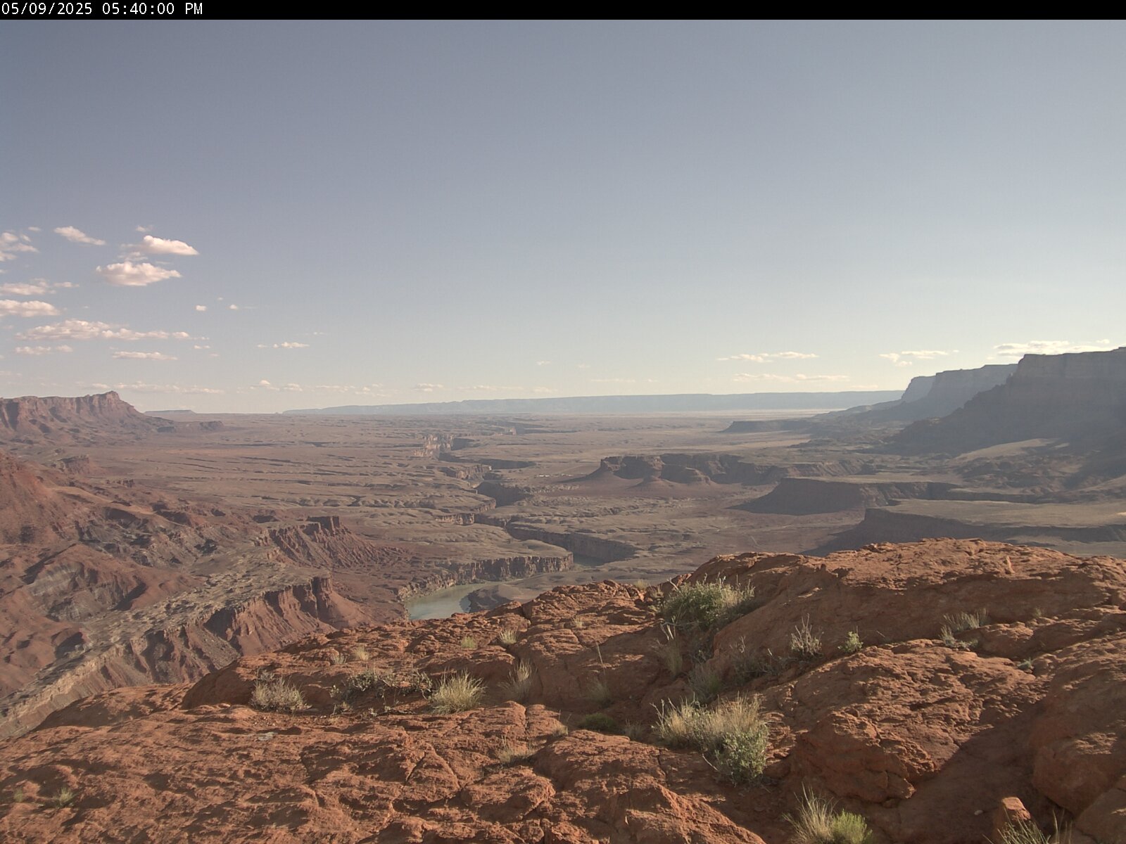
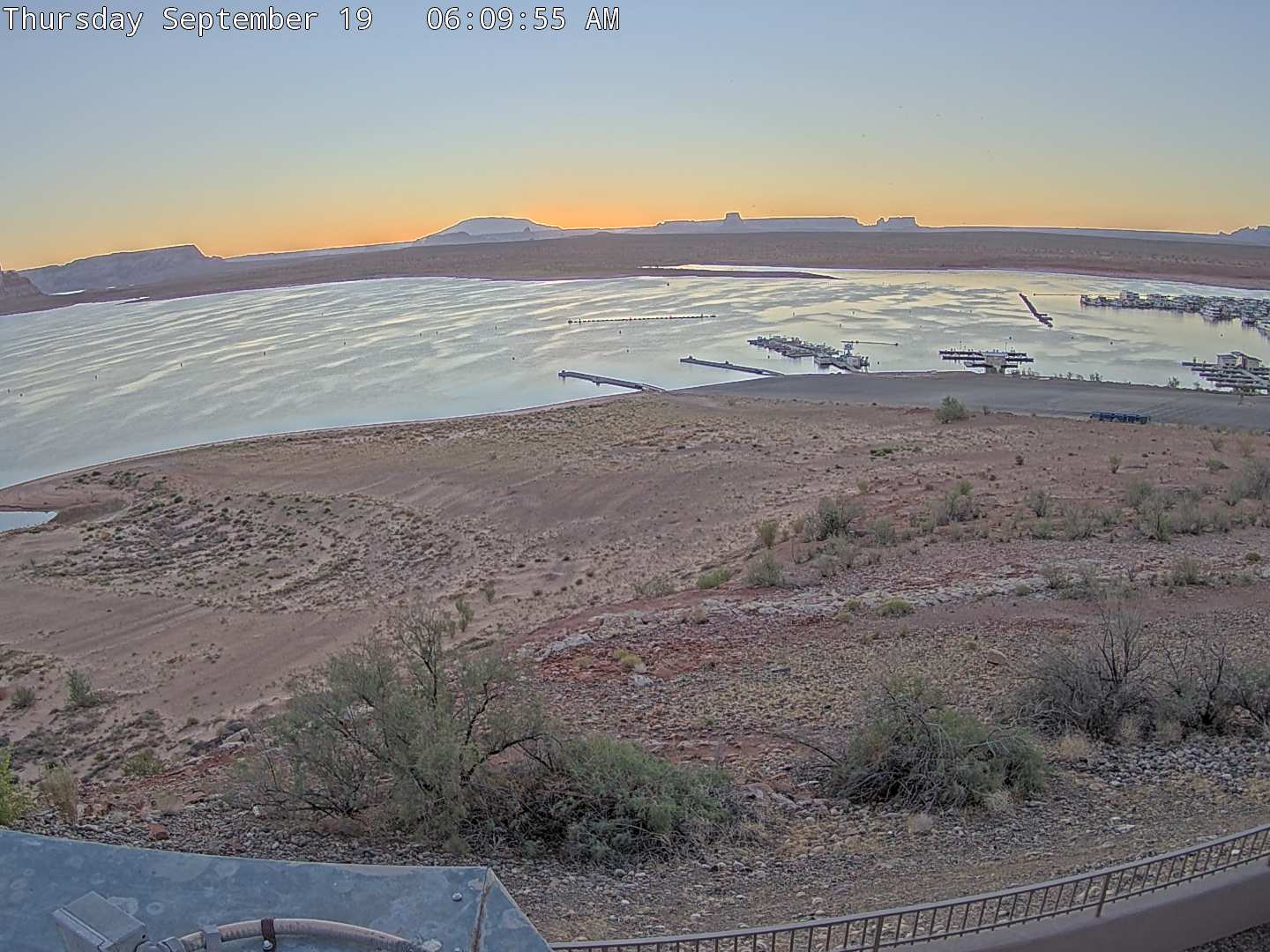
Explore more live webcams across Utah featuring:
- Scenic Utah Webcams
- Utah Ski Resorts
- Utah Mountain Pass Webcams
- Utah Lake Webcams
- Utah Airport Webcams
- Utah Golf Course Webcams
- Utah Highway Webcams
- Utah Wildlife Webcams
- Salt Lake City, Utah Webcams
- Best Utah Webcams
- Popular Utah Cities and Towns Webcams
Discover changing weather, mountain scenery, and current travel conditions across Utah in real time. See all Utah webcams in one place.