Salina Utah Traffic Webcams
State St / US-89 at Main St / US-50
US-89 Salina Utah Traffic Webcams – Road & Weather Conditions
View US-89 traffic webcams in Salina, Utah, and the surrounding Sevier Valley to check current road conditions, weather, and visibility in central Utah. US Highway 89 connects rural communities, agricultural valleys, and scenic mountain landscapes while serving as an important route for local traffic and travelers exploring the region. Whether you’re commuting, traveling between southern and northern Utah, or planning a trip through Sevier County, these UDOT webcams provide useful highway views before you travel.
US-89 Traffic Cameras in Salina
The Utah Department of Transportation (UDOT) provides traffic camera coverage along US-89 and connecting roads in the Salina area.
State St / US-89 @ Main St / US-50 – A downtown Salina camera showing the intersection of two important highways and the surrounding streetscape.
UDOT camera images update periodically according to equipment and operating schedules. Cameras may occasionally display an offline notice when temporarily unavailable.
Salina Road Conditions and Weather
Salina experiences four distinct seasons, with hot summer afternoons, cold winters, and changing weather conditions throughout the year.
Winter storms can bring snow, icy pavement, and reduced visibility to US-89 and nearby highways. Conditions may become more challenging on mountain routes outside the valley, especially during periods of heavy snowfall or strong winds.
Summer travel generally brings dry roads and warm temperatures, although thunderstorms can develop and produce heavy rainfall, gusty winds, or localized flooding.
US-89 connects Salina with communities farther south in the Sevier Valley and continues north toward Sanpete County. US-50 provides an important east–west connection through the region, while nearby I-70 serves longer-distance interstate traffic.
Travelers can use these webcams to observe visible traffic and weather conditions before departing. For official closures, construction notices, restrictions, and road alerts, consult UDOT’s current traffic information.
Explore additional highway views on our US-89 Utah Traffic Webcams hub.
About Salina, Utah, and US Highway 89
Salina is a small city in Sevier County, Utah, located in the northern Sevier Valley near the Sevier River. Surrounded by agricultural lands, foothills, and mountain ranges, the community serves as a regional center for local businesses, transportation, and services.
The area was settled during the nineteenth century, and agriculture became an important part of its early economy. Salina’s name reflects the salt deposits and mineral resources associated with the region.
Today, the city retains its small-town character while serving travelers along US Highway 89, US Highway 50, and nearby Interstate 70.
US-89 Through Salina
US Highway 89 is a historic north–south route extending through much of the western United States. In Utah, it connects a series of communities and scenic landscapes, including the valleys of central Utah.
Through Salina, US-89 follows State Street and intersects US-50 at Main Street. This junction provides access to regional destinations and connecting highways.
Southbound travelers can continue toward Richfield and other Sevier Valley communities, while northbound motorists travel toward Gunnison and the Sanpete Valley.
US-50 and Interstate 70
Salina is an important crossroads in central Utah. US-50 provides an east–west route through the region, and Interstate 70 passes nearby, connecting central Utah with destinations farther east and west.
These highways carry local residents, commercial vehicles, recreational travelers, and visitors exploring Utah’s scenic backroads.
Recreation and Attractions
The surrounding Sevier Valley offers access to fishing, camping, hiking, and off-highway vehicle recreation. Nearby mountains provide opportunities for seasonal outdoor activities, while the region’s rural roads offer scenic drives through agricultural landscapes and small communities.
Salina is also a convenient stopping point for travelers exploring central Utah or connecting between the state’s national parks and northern destinations.
Seasonal Weather and Driving
The valley’s elevation and surrounding mountains influence local weather. Winters can bring snow and freezing temperatures, while summers are generally warm and dry.
Weather conditions may differ considerably between the valley floor and nearby mountain highways. Drivers should check current conditions before traveling, particularly during winter storms or periods of rapidly changing weather.
UDOT traffic cameras in the Salina area provide useful visual information for planning travel along US-89 and connecting routes.
Utah Highway Webcams
Utah Interstate Webcams
Utah US Highway Webcams
Utah State Highway Webcams
UT-7
UT-8
UT-9
UT-10
UT-12
UT-13
UT-14
UT-18
UT-20
UT-21
UT-24
UT-25
UT-26
UT-28
UT-30
UT-31
UT-32
UT-34
UT-36
UT-37
UT-39
UT-42
UT-43
UT-44
UT-45
UT-46
UT-48
UT-51
UT-52
UT-55
UT-56
UT-59
UT-62
UT-63
UT-65
UT-66
UT-68
UT-71
UT-72
UT-73
UT-74
UT-75
UT-77
UT-79
UT-83
UT-85
UT-87
UT-88
UT-92
UT-95
UT-97
UT-102
UT-105
UT-106
UT-107
UT-108
UT-109
UT-111
UT-112
UT-113
UT-114
UT-115
UT-120
UT-121
UT-126
UT-127
UT-129
UT-130
UT-132
UT-138
UT-140
UT-142
UT-143
UT-144
UT-147
UT-150
UT-151
UT-152
UT-154
UT-156
UT-157
UT-158
UT-160
UT-164
UT-165
UT-171
UT-172
UT-173
UT-175
UT-177
UT-178
UT-179
UT-180
UT-186
UT-190
UT-193
UT-194
UT-196
UT-198
UT-199
UT-201
UT-203
UT-204
UT-208
UT-209
UT-210
UT-218
UT-224
UT-232
UT-235
UT-241
UT-248
UT-252
UT-257
UT-264
UT-265
UT-266
UT-269
UT-273
UT-276
UT-282
UT-289
UT-491
Why Use Salina Utah Traffic Webcams?
- Check visible road conditions along US-89 in Salina.
- View traffic and weather conditions in the Sevier Valley.
- Look for snow, rain, or wet pavement.
- Assess visibility during changing weather.
- Plan travel through central Utah.
- Check conditions near major highway connections.
- Compare Salina weather with other UDOT camera locations.
- Prepare for seasonal travel and winter storms.
Frequently Asked Questions
Where is Salina, Utah?
Salina is located in Sevier County in central Utah, near the northern end of the Sevier Valley.
Does US-89 pass through Salina?
Yes. US Highway 89 travels through Salina along State Street and connects the city with other central Utah communities.
Where are the Salina traffic webcams?
UDOT provides traffic camera coverage along US-89 and nearby connecting roads in the Salina area.
Are the Salina webcams live?
UDOT cameras provide periodically updated images or traffic views. They are not necessarily continuous live-video streams.
Does US-50 intersect US-89 in Salina?
Yes. US-50 intersects US-89 at Main Street in downtown Salina.
Is Salina near Interstate 70?
Yes. Interstate 70 passes near Salina and provides an important east–west highway connection through central Utah.
Does Salina get snow in winter?
Yes. Winter storms can bring snow, freezing temperatures, and icy road conditions to Salina and surrounding highways.
Where can I check official road closures near Salina?
UDOT provides official highway closures, travel restrictions, construction information, and road-condition alerts through its traffic information services.
More Utah Webcams




See More of Utah!
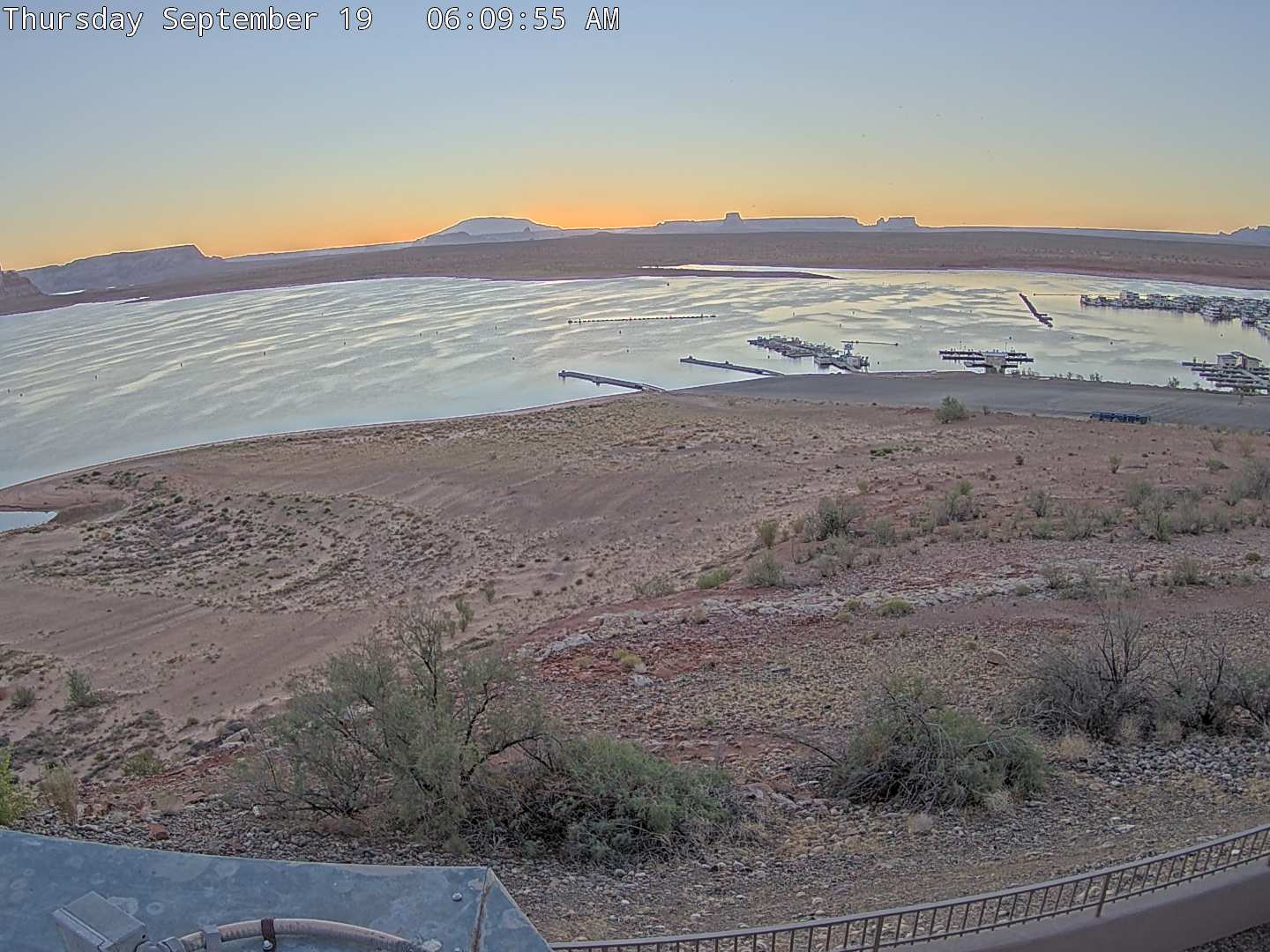
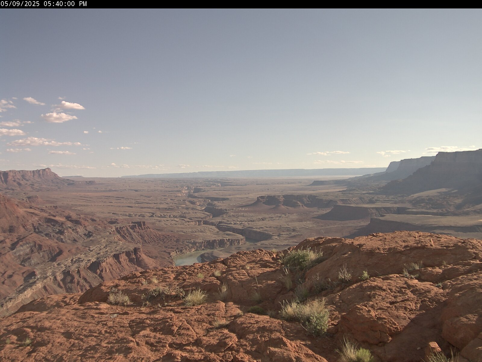
Explore more live webcams across Utah featuring:
- Scenic Utah Webcams
- Utah Ski Resorts
- Utah Mountain Pass Webcams
- Utah Lake Webcams
- Utah Airport Webcams
- Utah Golf Course Webcams
- Utah Highway Webcams
- Utah Wildlife Webcams
- Salt Lake City, Utah Webcams
- Best Utah Webcams
- Popular Utah Cities and Towns Webcams
Discover changing weather, mountain scenery, and current travel conditions across Utah in real time. See all Utah webcams in one place.