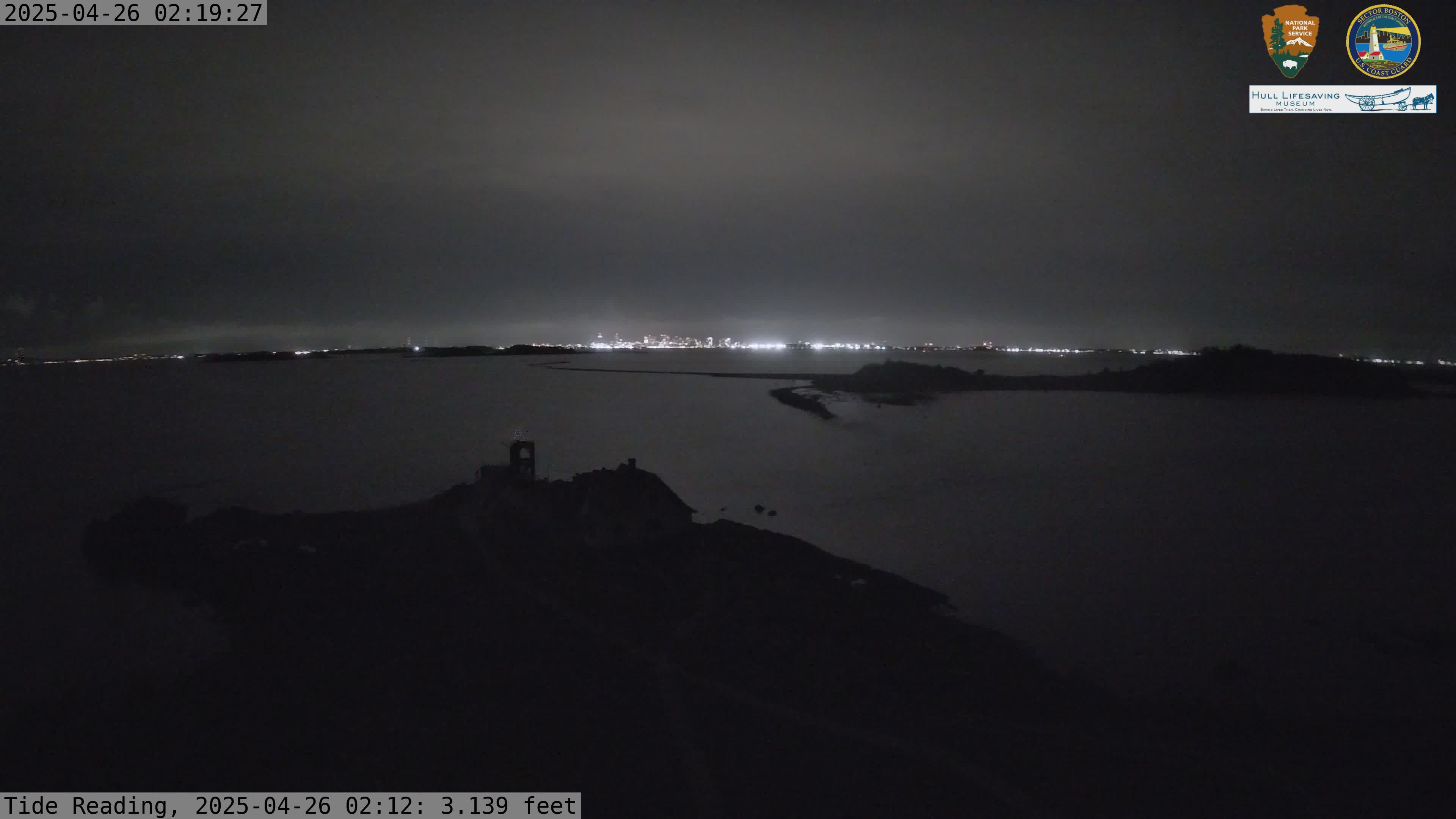
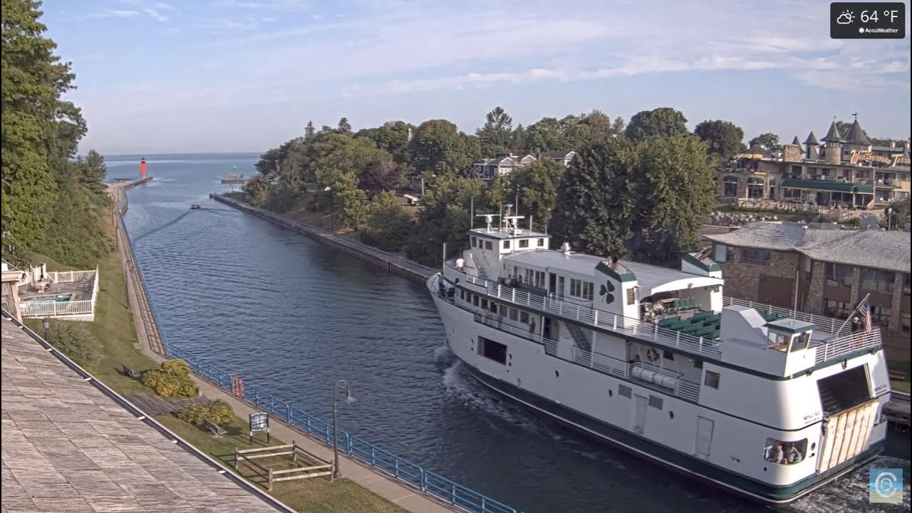
Put-in-Bay Webcams – Perry’s Victory and International Peace Memorial
Webcam view of Put-In-Bay Sunrise View
Put-in-Bay Webcams – Lake Erie Monument Views
The Put-in-Bay webcams provide two rotating views from the observation deck of Perry’s Victory and International Peace Memorial on South Bass Island, Ohio. Located approximately 317 feet above Lake Erie, the cameras look across Put-in-Bay, the surrounding islands and the open water separating the United States from Canada.
The Harbor View camera concentrates on Put-in-Bay Harbor, downtown and the islands west and north of the memorial. The Sunrise View camera covers the eastern side of South Bass Island and more distant landmarks toward the Ohio mainland.
Because both cameras rotate through preset positions, the image may change from a close view of downtown Put-in-Bay to a broad Lake Erie panorama. Together, they are useful for checking lake visibility, cloud cover, boating activity, seasonal conditions and the level of activity around the village and harbor.
During summer, the webcams capture ferries, recreational boats and busy waterfront docks. Winter brings a quieter landscape, bare trees and, in sufficiently cold conditions, ice around the Lake Erie Islands.
Put-in-Bay Harbor View Webcam
The Harbor View Webcam rotates across the southwestern, western and northern sides of South Bass Island. Its featured views include Put-in-Bay Harbor, the downtown waterfront, marinas, the western end of South Bass Island and several neighboring islands.
Depending on the camera’s current position, you may see Gibraltar Island, Rattlesnake Island, Middle Bass Island, North Bass Island or Green Island. The historic site of the Battle of Lake Erie lies farther west between the islands.
This is the better camera for watching Put-in-Bay itself. The elevated view captures boats entering the harbor, activity around the docks and the compact village center. It also provides a clear sense of the island’s geography: downtown and the harbor occupy a protected bay, while the surrounding waters open into western Lake Erie.
The camera’s western exposure makes it particularly good for sunsets. Weather moving across the lake, summer haze and precipitation on the lens may temporarily reduce visibility.
Put-in-Bay Sunrise View Webcam
The Sunrise View Webcam rotates from the southwest toward the eastern Lake Erie horizon. Its programmed views include the eastern end of South Bass Island, Ballast Island, Kelleys Island, Middle Island and the Marblehead Peninsula.
Under especially clear conditions, viewers may recognize Marblehead Lighthouse or the distant structures of Cedar Point near Sandusky. Middle Island, located north of the international boundary, is the southernmost point of land in Canada.
This camera is most interesting during the morning, when the rising sun illuminates the lake and eastern islands. It remains useful throughout the day for watching boat traffic, cloud development and visibility toward the mainland.
The rotating camera may occasionally point back across Put-in-Bay rather than directly toward the sunrise. Each static image captures the camera’s position at the moment the frame was recorded.
About Perry’s Victory and International Peace Memorial
Perry’s Victory and International Peace Memorial stands on South Bass Island in western Lake Erie. Its 352-foot Doric column dominates the Put-in-Bay skyline and is visible from miles away. The cameras are positioned near the open-air observation deck, approximately 317 feet above the lake.
The memorial commemorates the Battle of Lake Erie, fought on September 10, 1813, during the War of 1812. A United States naval squadron commanded by Master Commandant Oliver Hazard Perry defeated a British squadron west of Put-in-Bay. The victory secured American control of Lake Erie and helped the United States regain Detroit.
The memorial does more than celebrate a military victory. It also recognizes the lasting peace among the United States, Canada, and Great Britain following the war. The international boundary passes only a few miles from the monument, and Canadian islands are visible from its observation deck.
Construction of the granite column occurred between 1912 and 1915. Six officers killed during the battle—three American and three British—are interred beneath the rotunda. Their placement together reinforces the memorial’s broader message of reconciliation between former enemies.
South Bass Island is part of a Lake Erie archipelago extending between Ohio and Ontario. Put-in-Bay is the island’s principal community and has long served as a stopping place for boaters. Today it is known for marinas, fishing, restaurants, wineries and seasonal entertainment.
The webcams provide a perspective normally available only from the monument’s observation deck. Their height makes it possible to understand how Put-in-Bay, South Bass Island, the neighboring islands and the international boundary fit together.
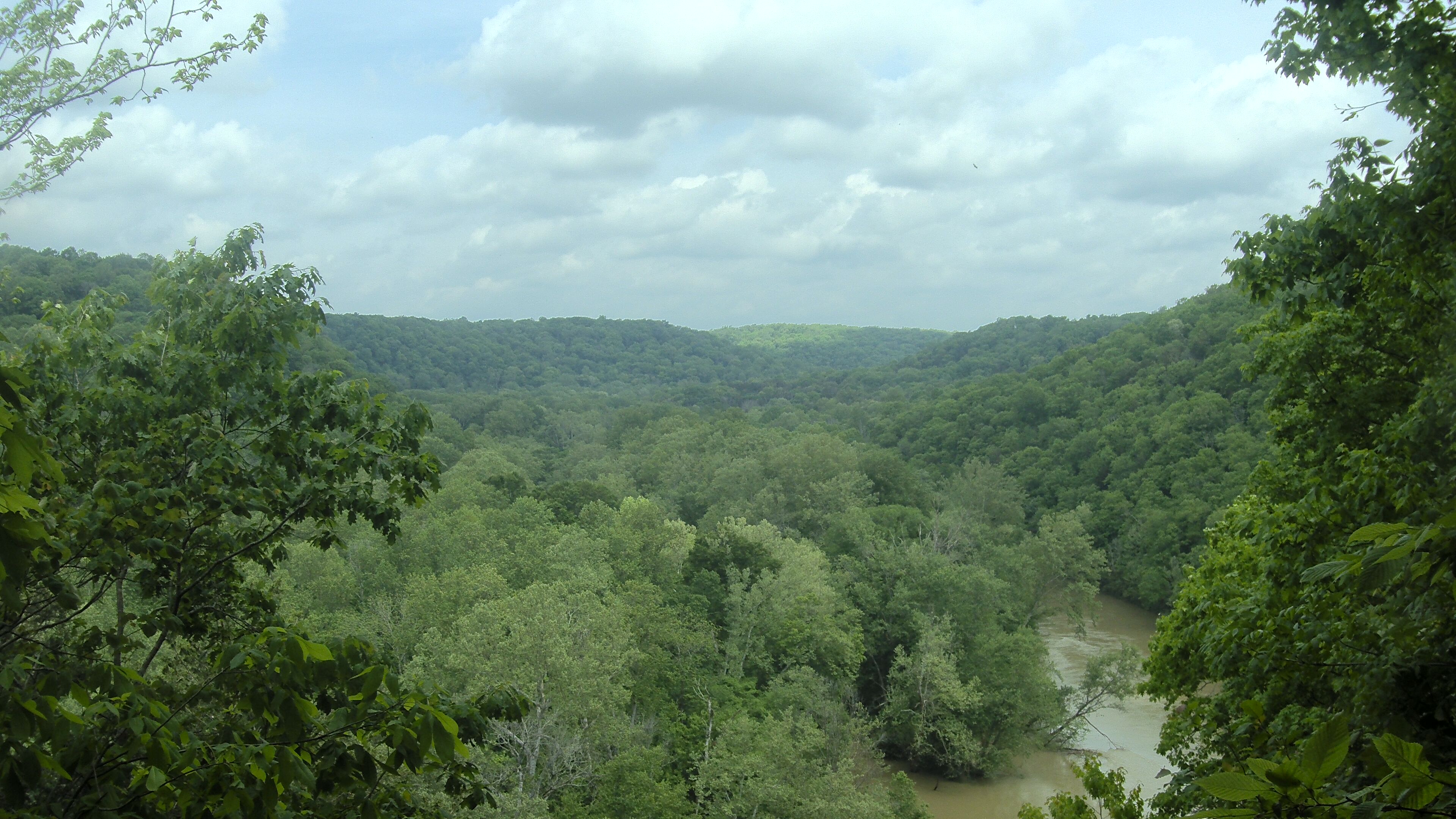
Islands and Landmarks Visible from Put-in-Bay
The two webcams can show a surprising amount of Lake Erie geography as they move through their preset positions.
Middle Bass Island lies north of Put-in-Bay and is separated from South Bass Island by a narrow channel. North Bass Island is farther north and has a quieter, more agricultural landscape. Green Island, west of South Bass Island, is recognizable by its lighthouse and undeveloped shoreline.
Gibraltar Island sits at the entrance to Put-in-Bay Harbor. The small island is home to Ohio State University’s Stone Laboratory, a freshwater biological research and education facility.
To the east, Kelleys Island is one of the largest American islands in Lake Erie. Beyond it, the Marblehead Peninsula projects into the lake from the Ohio mainland. Marblehead Lighthouse has guided vessels through this part of Lake Erie since the 1820s.
Middle Island lies north of the international border and belongs to Ontario. It is Canada’s southernmost point of land, placing this webcam view unusually close to another country.
Planning a Visit to Put-in-Bay
South Bass Island is reached primarily by passenger ferry, vehicle ferry, private boat or aircraft. Ferry service generally operates from mainland terminals near Port Clinton, Catawba Island and Sandusky, with schedules varying by season and weather.
Put-in-Bay is compact and easy to explore without a car. Visitors commonly walk or use bicycles, golf carts, taxis and island transportation services.
Late spring through early fall is the main visitor season. Summer brings the most boating activity and the broadest range of island services. The island becomes much quieter during winter, when ferry access and business operations are more limited.
Lake weather can change rapidly. Fog, thunderstorms and strong wind may affect boating and ferry operations even when conditions appeared favorable earlier in the day. The webcams provide a useful visual check, but travelers should confirm ferry and monument access separately before leaving the mainland.
Why Use the Put-in-Bay Webcams?
- Watch boats and ferries around Put-in-Bay Harbor.
- Check current visibility across western Lake Erie.
- See downtown Put-in-Bay from above.
- Watch sunrise and sunset over the lake.
- Observe seasonal activity around the docks and marinas.
- Look for neighboring American and Canadian islands.
- Preview lake and weather conditions before taking a ferry.
- Experience the observation-deck view from Perry’s Memorial.
Put-in-Bay Webcam FAQs
Where are the Put-in-Bay webcams located?
The cameras are mounted at Perry’s Victory and International Peace Memorial on South Bass Island in Put-in-Bay, Ohio.
What do the webcams show?
The rotating views include Put-in-Bay Harbor, downtown, South Bass Island, Lake Erie and several surrounding American and Canadian islands.
Are these live-streaming webcams?
The cameras provide live rotating views, while the static-image versions capture the most recently available frame from each camera.
Why does the view change?
Both cameras move through programmed positions. One moment may show downtown Put-in-Bay, while another shows the harbor, an island or the open lake.
Can Canada be seen from the cameras?
Yes. Middle Island and other Canadian land may be visible when the Sunrise View camera points north or east and visibility is sufficiently clear.
What is the tall monument at Put-in-Bay?
Perry’s Victory and International Peace Memorial is a 352-foot granite Doric column commemorating the Battle of Lake Erie and the continuing peace among the United States, Canada and Great Britain.
Can the webcams confirm whether ferries are operating?
No. They may show general lake and harbor conditions, but ferry operations depend on schedules, weather and the time of year. Check directly with the ferry operator before traveling.
What is the best time to visit Put-in-Bay?
Late spring through early fall provides the greatest access to ferries, island businesses and visitor services. Summer is busiest, while spring and fall are generally quieter.
More Ohio Webcams
See More Ohio
Explore more live views across the Buckeye State with our Ohio Webcams, Ohio Lake Webcams, Ohio Traffic Webcams and National Park Webcams.