Kuwohi Webcam – Great Smoky Mountains
Kuwohi Webcam – Great Smoky Mountains
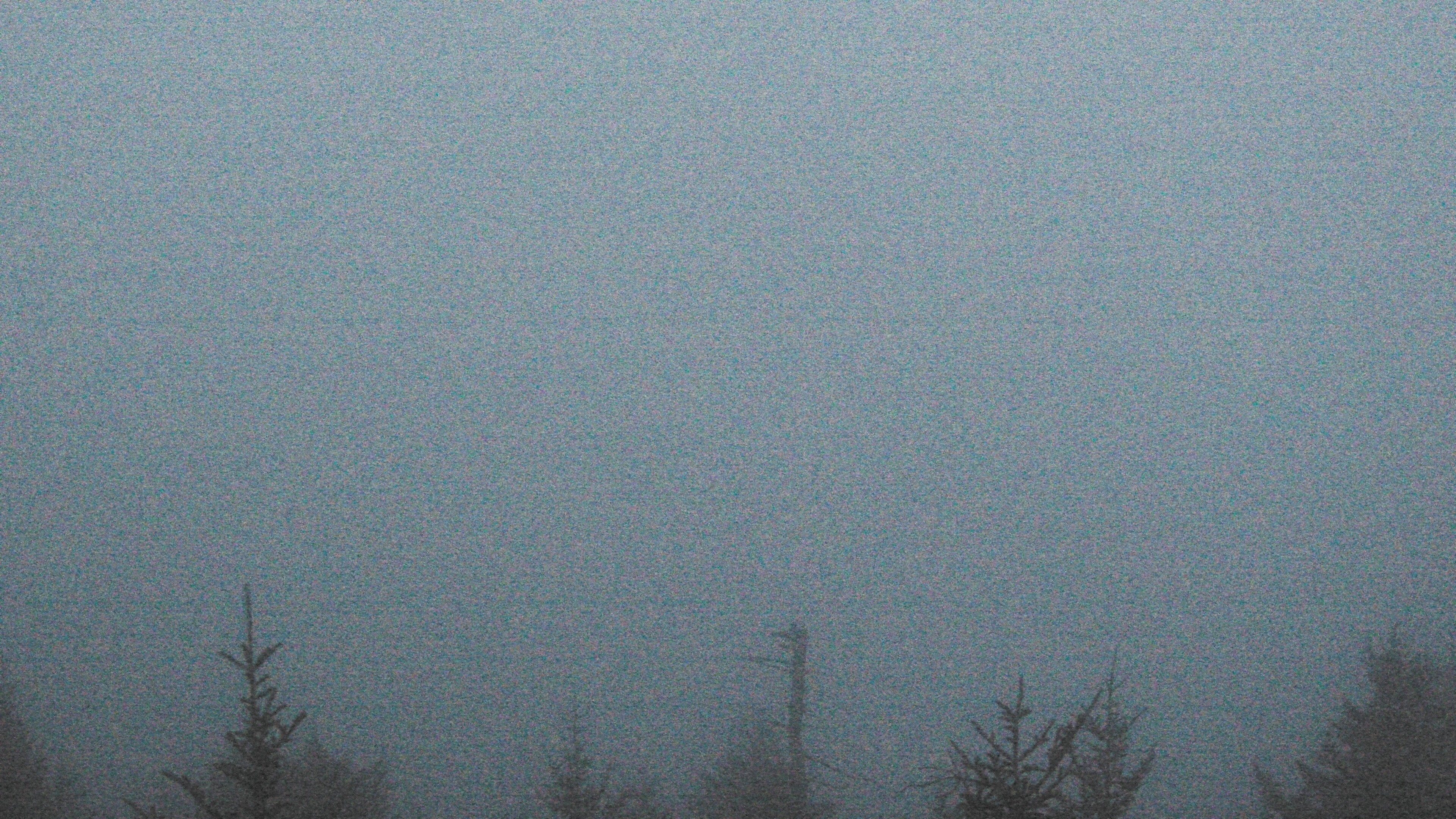
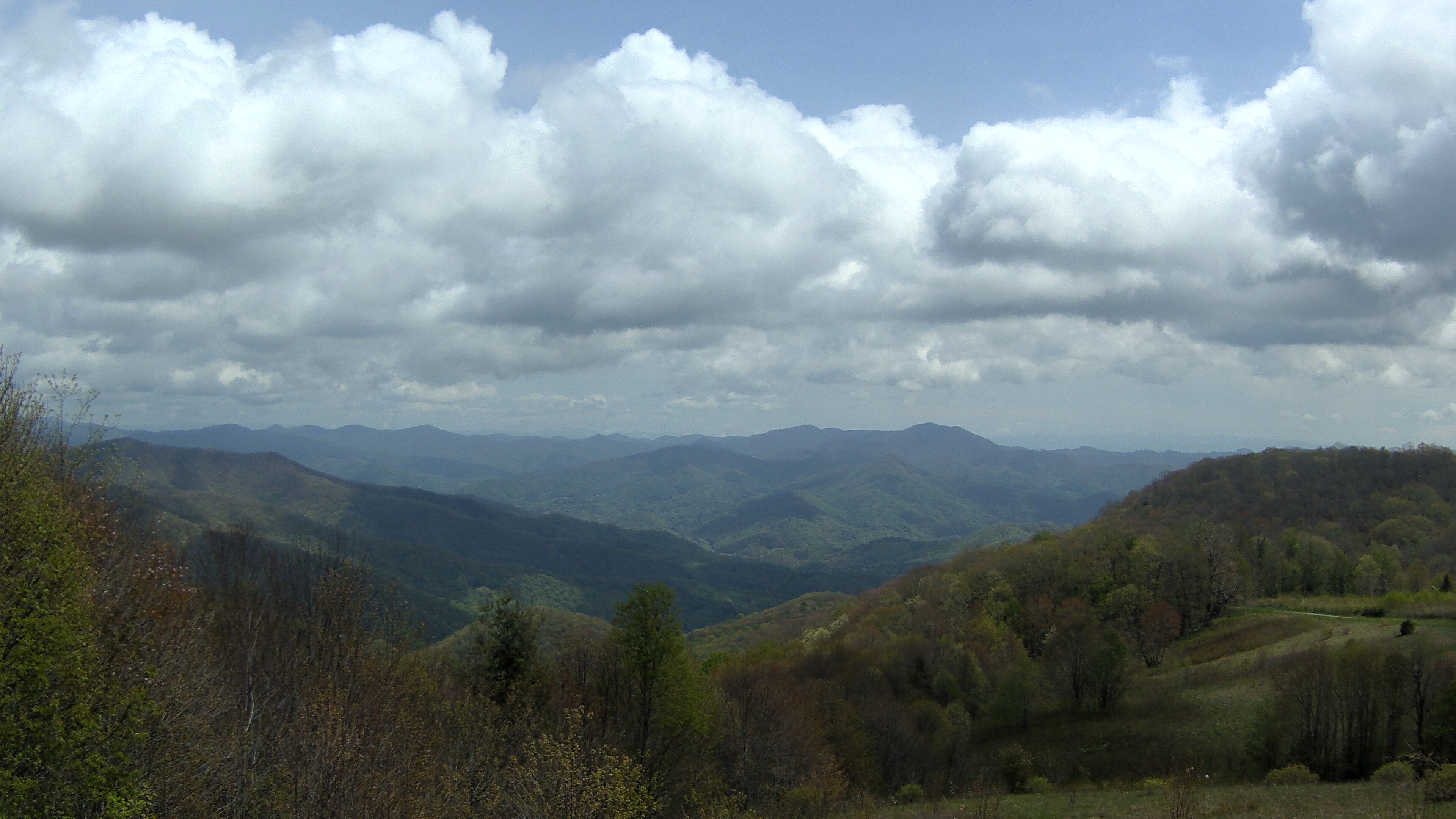
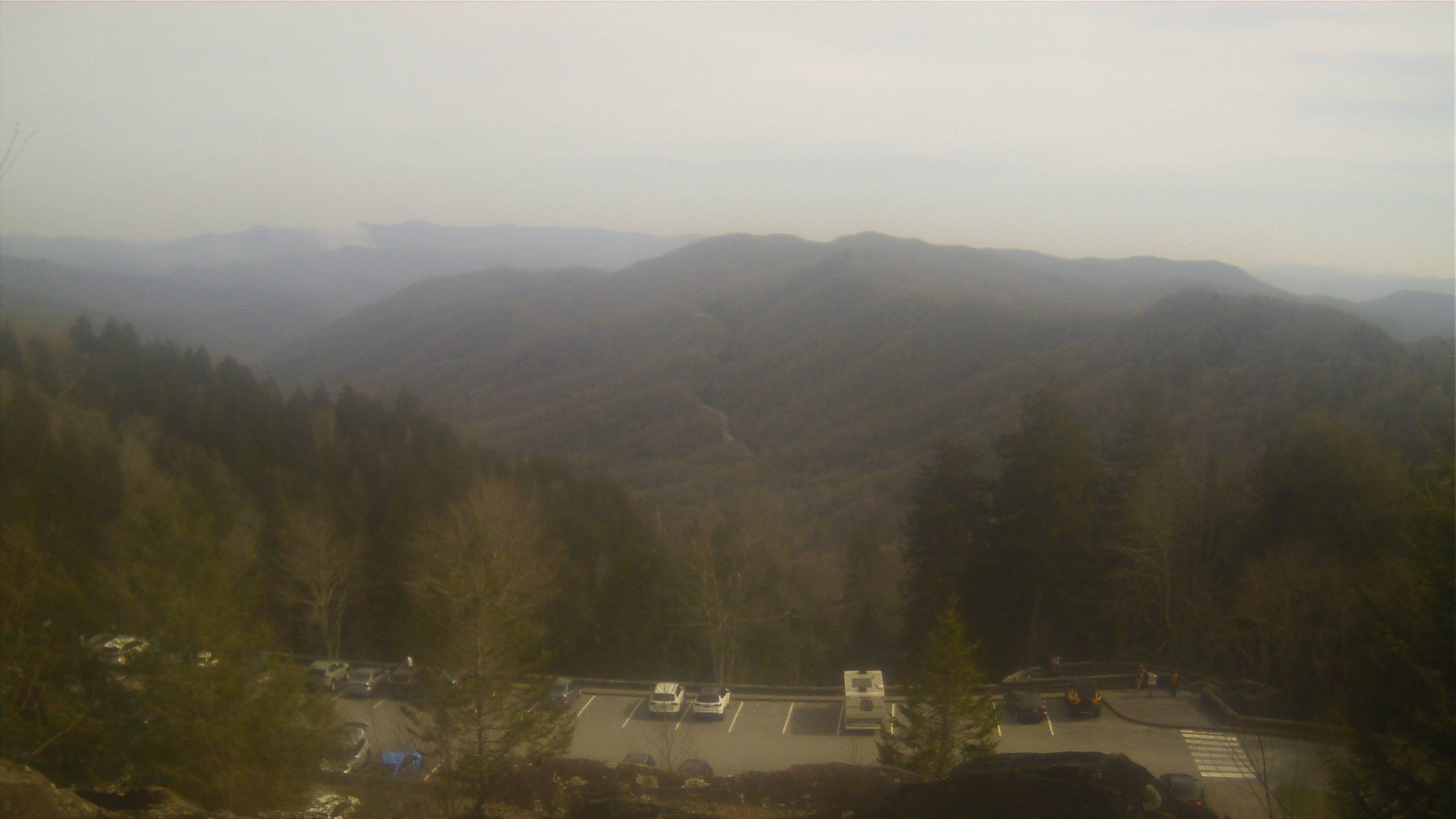
The Kuwohi Webcam provides a live high-elevation view from the highest point in Great Smoky Mountains National Park. Located at 6,643 feet near the Tennessee–North Carolina state line, the camera looks west across the forested ridges of the Smokies.
Formerly known as Clingmans Dome, Kuwohi is one of the most famous viewpoints in the national park. The webcam provides a real-time look at mountain visibility, clouds, fog, weather, air quality, and changing conditions from the highest elevations of the Smokies.
Watch the Great Smoky Mountains from Kuwohi
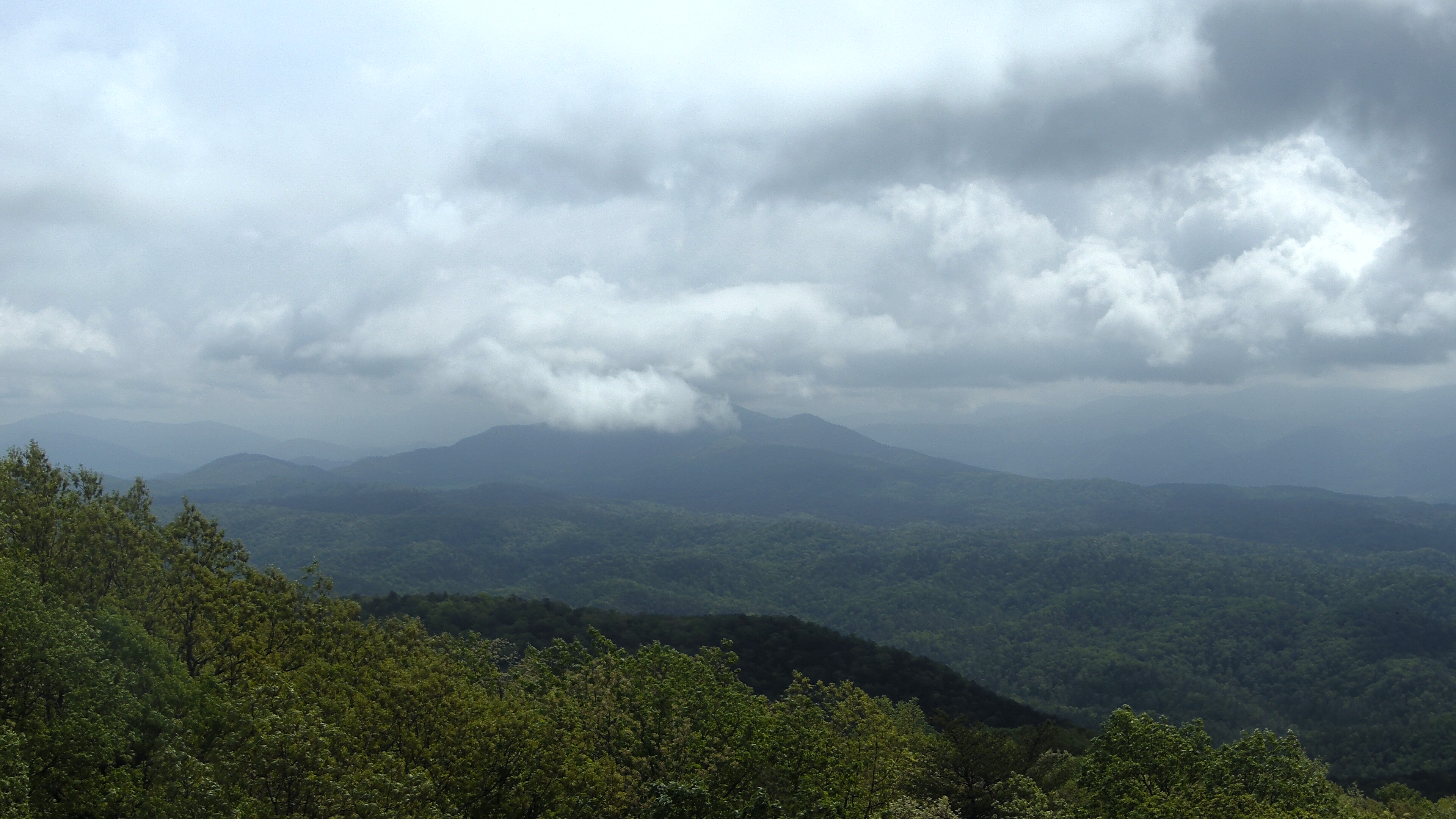
On a clear day, the view from Kuwohi can extend across layer after layer of mountains.
Those clear days aren’t guaranteed.
Kuwohi frequently sits in clouds and fog, and conditions at the summit can be dramatically different from those in Gatlinburg, Cherokee, or the surrounding valleys.
Temperatures at the highest elevations may be 10 to 20 degrees cooler than at the base of the mountains. Clouds, precipitation, and cold temperatures are common even when conditions at lower elevations are pleasant.
The webcam is also part of the National Park Service air-quality monitoring network, making it useful for observing changing visibility across the Smokies.
See Weather at the Highest Point in the Smokies
At 6,643 feet, Kuwohi experiences some of the most extreme weather in Great Smoky Mountains National Park.
Annual precipitation averages approximately 85 inches, considerably more than the lower elevations of the park.
Summer brings cool temperatures compared with the surrounding valleys, along with frequent clouds, rain, and thunderstorms.
Fall arrives early at this elevation. While forests at lower elevations may still be green, fall colors and colder conditions can already be developing around Kuwohi.
Snow and ice are common during the colder months.
Kuwohi Road, formerly known as Clingmans Dome Road, is generally closed to vehicles during winter, and the remote webcam system operates seasonally because of limited winter access and power.
About Kuwohi
Kuwohi is the highest mountain in Great Smoky Mountains National Park and the highest point in Tennessee, reaching an elevation of 6,643 feet.
The mountain sits along the crest of the Great Smoky Mountains near the Tennessee–North Carolina state line.
For many years, maps identified the mountain as Clingmans Dome. In September 2024, the U.S. Board on Geographic Names officially restored its Cherokee name, Kuwohi.
Kuwohi, pronounced “koo-WHOA-hee,” translates to “mulberry place.”
The mountain is a sacred place for the Cherokee people and is the highest point within the traditional Cherokee homeland. Kuwohi can be seen from the Qualla Boundary, home of the Eastern Band of Cherokee Indians.
Today, Kuwohi is one of the most visited destinations in Great Smoky Mountains National Park.
Kuwohi Road travels approximately seven miles from Newfound Gap Road to a large parking area near the summit.
From there, visitors follow a steep, paved half-mile trail to Kuwohi Observation Tower.
The distinctive 45-foot observation tower was completed in 1959 as part of the National Park Service’s Mission 66 program. A long curved ramp leads visitors to an elevated observation platform providing 360-degree views of the surrounding mountains when weather permits.
The Appalachian Trail also crosses Kuwohi as it follows the crest of the Great Smoky Mountains.
High elevation creates an ecosystem that looks and feels considerably different from much of the park. Spruce-fir forest surrounds the summit, and cool, wet conditions are common throughout the year.
The combination of extraordinary elevation, mountain scenery, Cherokee history, and distinctive high-elevation environment makes Kuwohi one of the defining destinations in Great Smoky Mountains National Park.
See Great Smoky Mountains National Park Webcams
Why Use the Kuwohi Webcam?
- Watch the Great Smoky Mountains live from 6,643 feet.
- Check visibility from the highest point in the park.
- Watch clouds and fog move across the summit.
- See changing air-quality conditions.
- Check high-elevation weather before visiting.
- Watch seasonal changes across the mountains.
- See dramatic differences between summit and valley weather.
- Enjoy a west-facing view across the Smokies.
Where is the Kuwohi Webcam located?
The webcam is located at high elevation near Kuwohi in the center of Great Smoky Mountains National Park near the Tennessee–North Carolina state line.
What direction does the Kuwohi Webcam face?
The National Park Service says the webcam looks west across the Great Smoky Mountains.
How high is Kuwohi?
Kuwohi reaches an elevation of 6,643 feet, making it the highest point in Great Smoky Mountains National Park and the highest point in Tennessee.
Is Kuwohi the same as Clingmans Dome?
Yes. The mountain was officially known as Clingmans Dome for many years. Its traditional Cherokee name, Kuwohi, was officially restored in September 2024.
What does Kuwohi mean?
Kuwohi is a Cherokee name meaning “mulberry place.” The mountain is a sacred place for the Cherokee people and holds deep cultural significance.
Can visitors drive to Kuwohi?
Visitors can drive Kuwohi Road approximately seven miles from Newfound Gap Road to the parking area when the road is open. From there, reaching the observation tower requires a steep half-mile walk.
Does the Kuwohi Webcam operate year-round?
No. The National Park Service states that the camera system currently operates during summer only because of limited winter access and lack of power.
How often does the webcam update?
The National Park Service webcam network generally updates digital images approximately every 15 minutes.