I-29 Webcam at Stateline in North Dakota
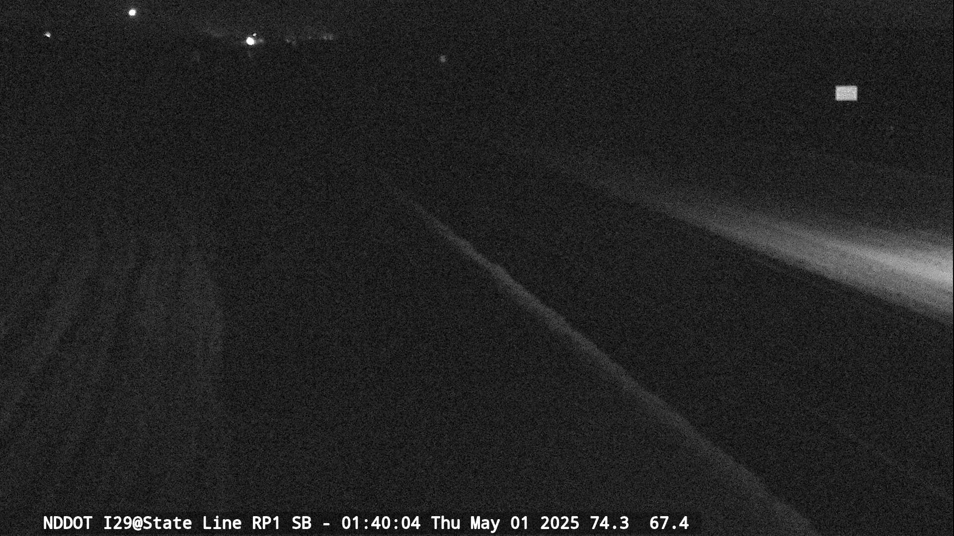


I-29 Webcam at the North Dakota State Line
The I-29 webcam at the North Dakota state line provides a live view of traffic, road conditions, and weather visibility along Interstate 29 where the highway enters North Dakota from South Dakota. This camera helps drivers monitor real-time highway conditions at the southern gateway into the state.
Interstate 29 runs north and south through eastern North Dakota and serves as a major transportation corridor across the northern Great Plains. The highway connects the Canadian border at Pembina with major cities including Grand Forks and Fargo before continuing south through South Dakota, Iowa, and Missouri.
Real-Time Traffic Conditions on I-29
The state line webcam allows drivers to observe current traffic conditions along Interstate 29 at the southern border of North Dakota. This portion of interstate carries a mix of passenger vehicles, commercial freight trucks, and long-distance travelers moving between North Dakota and South Dakota.
Drivers traveling north from the state line soon pass through southeastern North Dakota communities including Mooreton before reaching the Fargo metropolitan area. Fargo is the largest city in North Dakota and serves as a major transportation hub where Interstate 29 intersects with Interstate 94.
Southbound travelers continue into South Dakota where Interstate 29 passes through communities across the northern plains.
Viewing the live webcam feed allows drivers to monitor traffic flow and roadway conditions before entering or leaving North Dakota.
Monitoring Road Conditions and Weather Visibility
The I-29 state line webcam also provides a useful view of road surface conditions. Drivers can often see whether pavement appears dry, wet, snow covered, or icy depending on current weather conditions.
The open landscape of the Red River Valley can experience rapidly changing weather conditions throughout the year. Winter storms, strong winds, and drifting snow can sometimes create hazardous travel conditions along Interstate 29.
Checking the webcam before traveling helps drivers better understand current roadway conditions and weather visibility along this section of interstate.
Entering North Dakota on Interstate 29
Interstate 29 is one of the primary north–south highways serving eastern North Dakota. The route provides an important connection between communities, agricultural regions, and major transportation routes across the upper Midwest.
The I-29 webcam at the North Dakota state line provides travelers with a helpful real-time look at traffic flow, road conditions, and weather visibility as they enter or leave the state.
About the North Dakota State Line
The I-29 webcam at the state line is located along Interstate 29 at the southern border of North Dakota where the highway enters the state from South Dakota. This section of interstate lies within the Red River Valley, a broad and fertile agricultural region that stretches across eastern North Dakota and western Minnesota.
Interstate 29 begins in North Dakota at the state line and continues north through southeastern portions of the state. Drivers traveling north soon reach the community of Mooreton before continuing toward the Fargo metropolitan area.
Interstate 29 Through Eastern North Dakota
Interstate 29 serves as one of the most important transportation corridors in eastern North Dakota. The highway connects several major cities and communities including Fargo and Grand Forks before continuing north to the Canadian border crossing at Pembina.
Because the route carries both regional and long-distance traffic, Interstate 29 experiences steady traffic flow throughout the year.
Weather and Travel Conditions
The Red River Valley is known for its flat terrain and wide open landscapes. These conditions can sometimes allow strong winds to create blowing snow and drifting across Interstate 29 during winter months.
Rain, fog, and sudden weather changes may also affect travel conditions throughout the year.
The I-29 state line webcam provides drivers with a real-time view of traffic flow, road surface conditions, and weather visibility at the southern entrance to North Dakota.
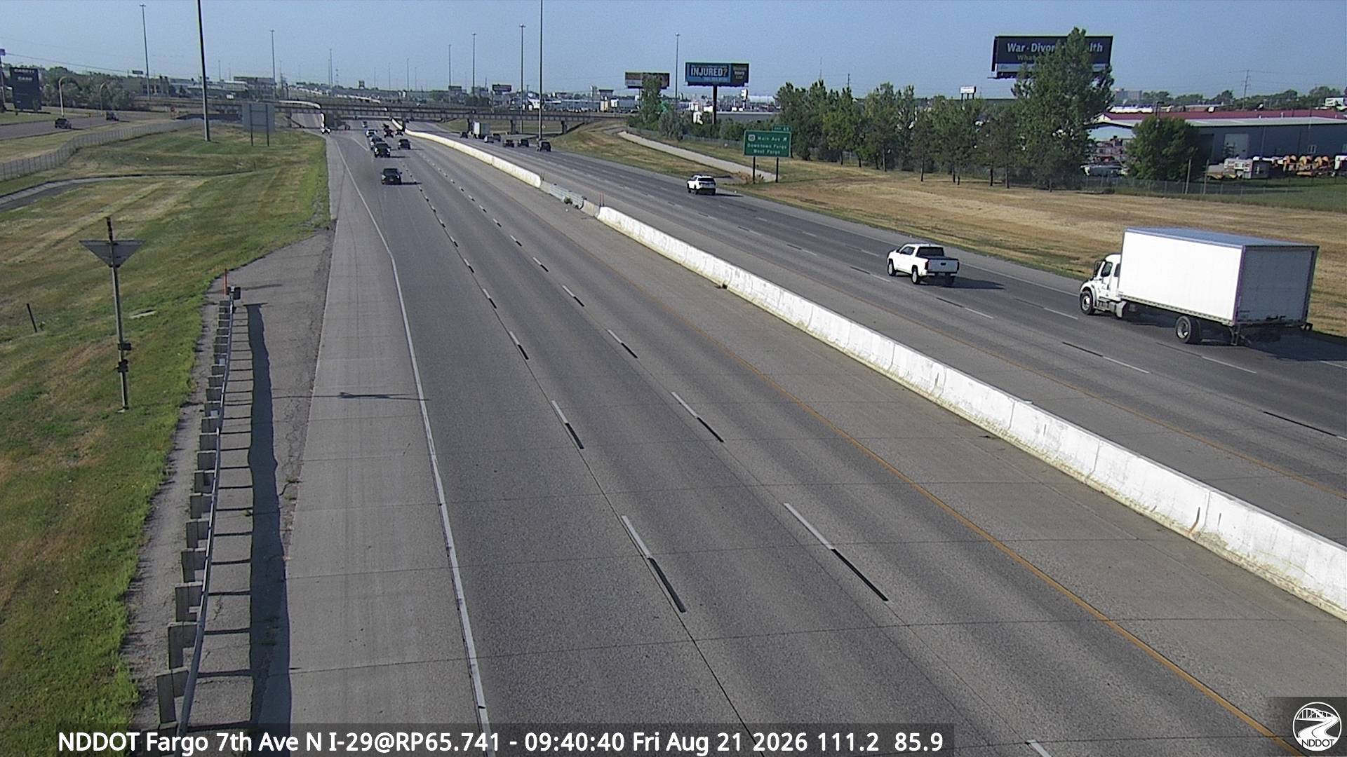
See I-29 Webcams in North Dakota




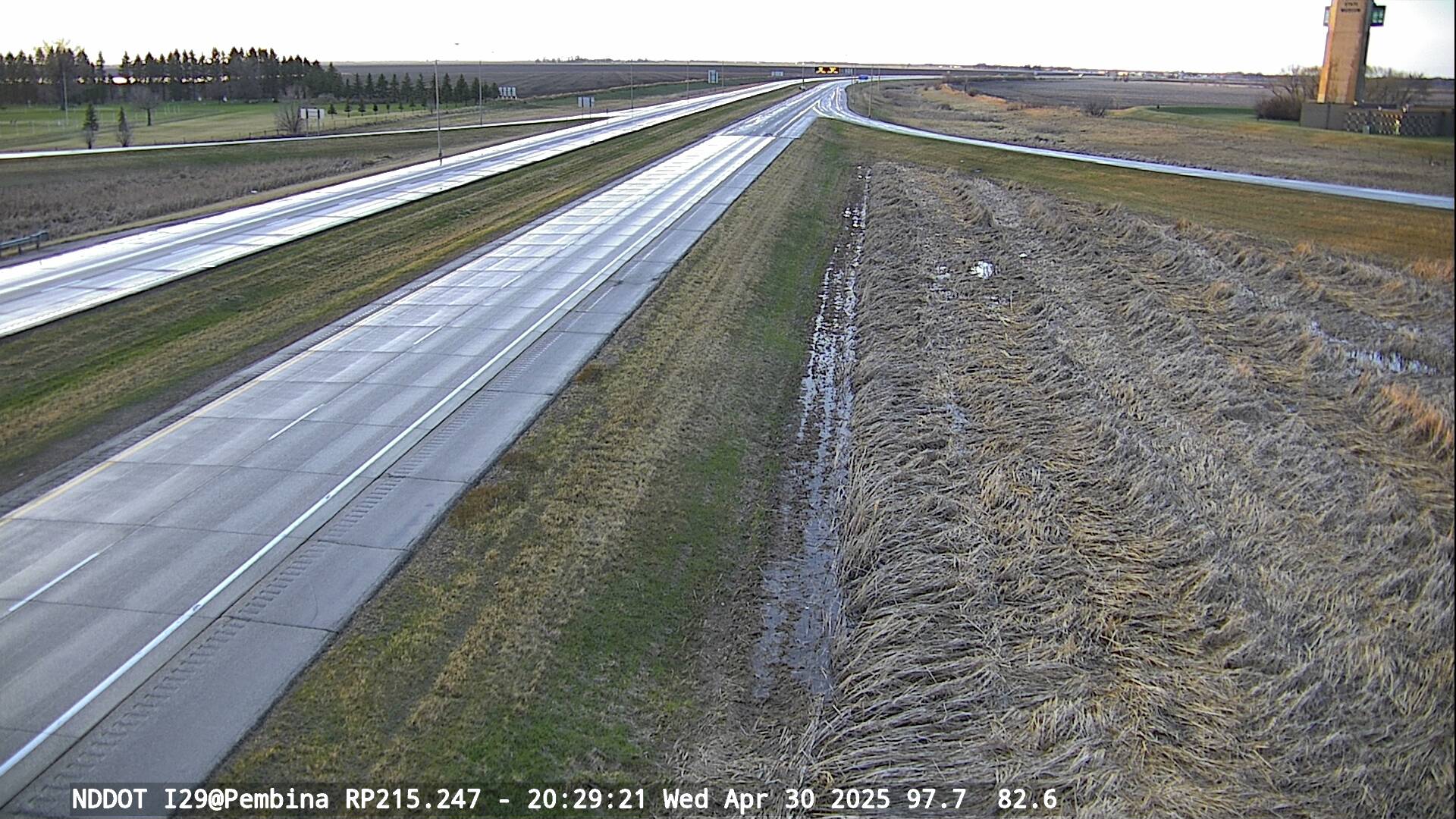


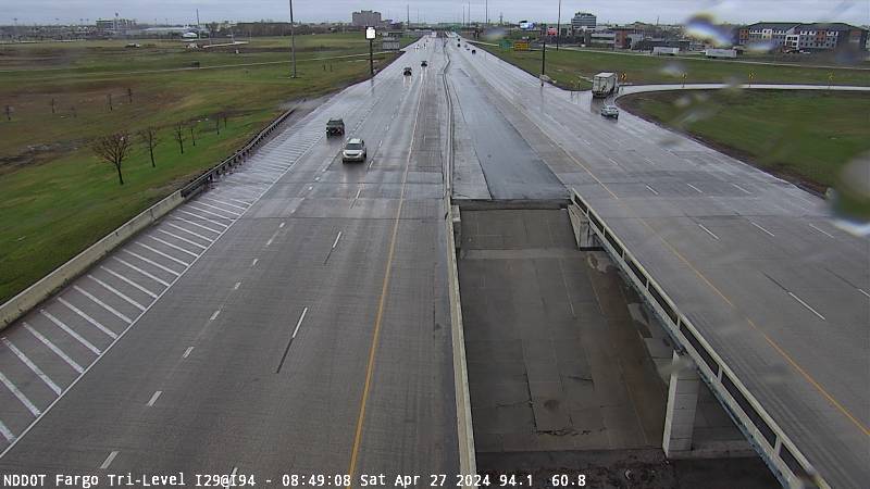


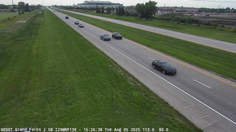


Why Use the I-29 North Dakota State Line Webcam
• View real-time traffic conditions at the North Dakota–South Dakota border
• Check road surface conditions including snow, ice, or wet pavement
• Monitor weather visibility entering or leaving North Dakota
• Prepare for winter driving conditions in the Red River Valley
• Plan safer travel along Interstate 29
I-29 North Dakota State Line Webcam FAQ
Where is the I-29 North Dakota state line webcam located?
The webcam is located along Interstate 29 at the southern border of North Dakota where the highway enters the state from South Dakota.
What highway does this webcam monitor?
This camera monitors traffic conditions along Interstate 29.
Can I check weather conditions using this webcam?
Yes. The webcam provides a live view of traffic, road conditions, and weather visibility along Interstate 29.
Why is this webcam helpful for drivers?
Drivers can check real-time traffic flow, road conditions, and weather visibility before traveling across the North Dakota–South Dakota border.
More North Dakota Webcams