Superior Webcam in Superior, Colorado
Superior Webcam in Superior, Colorado – Traffic & Weather Conditions
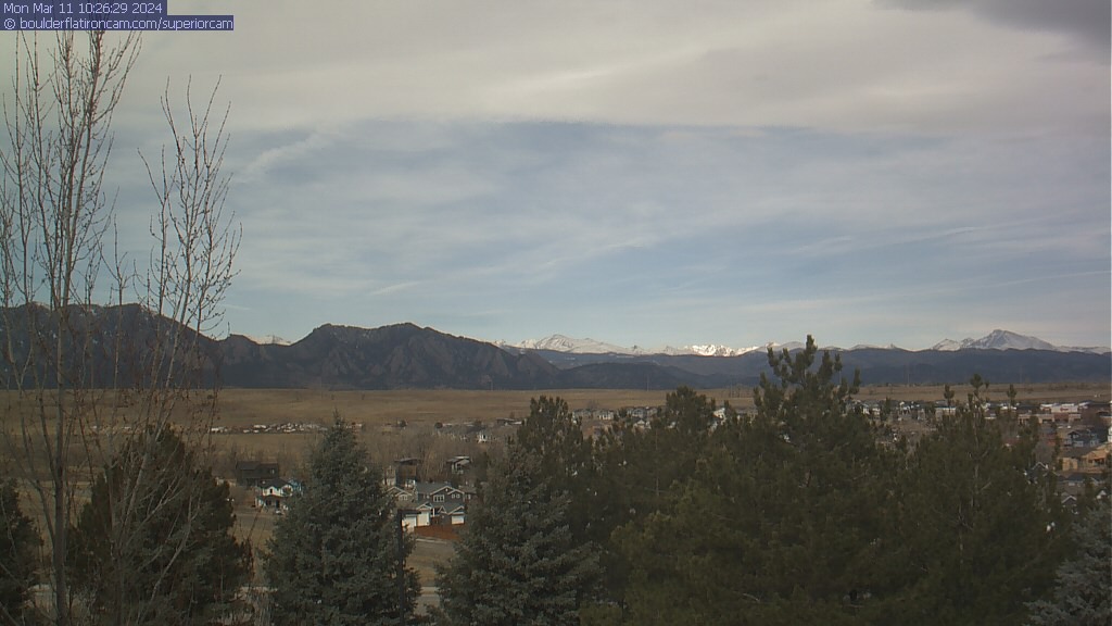
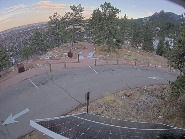
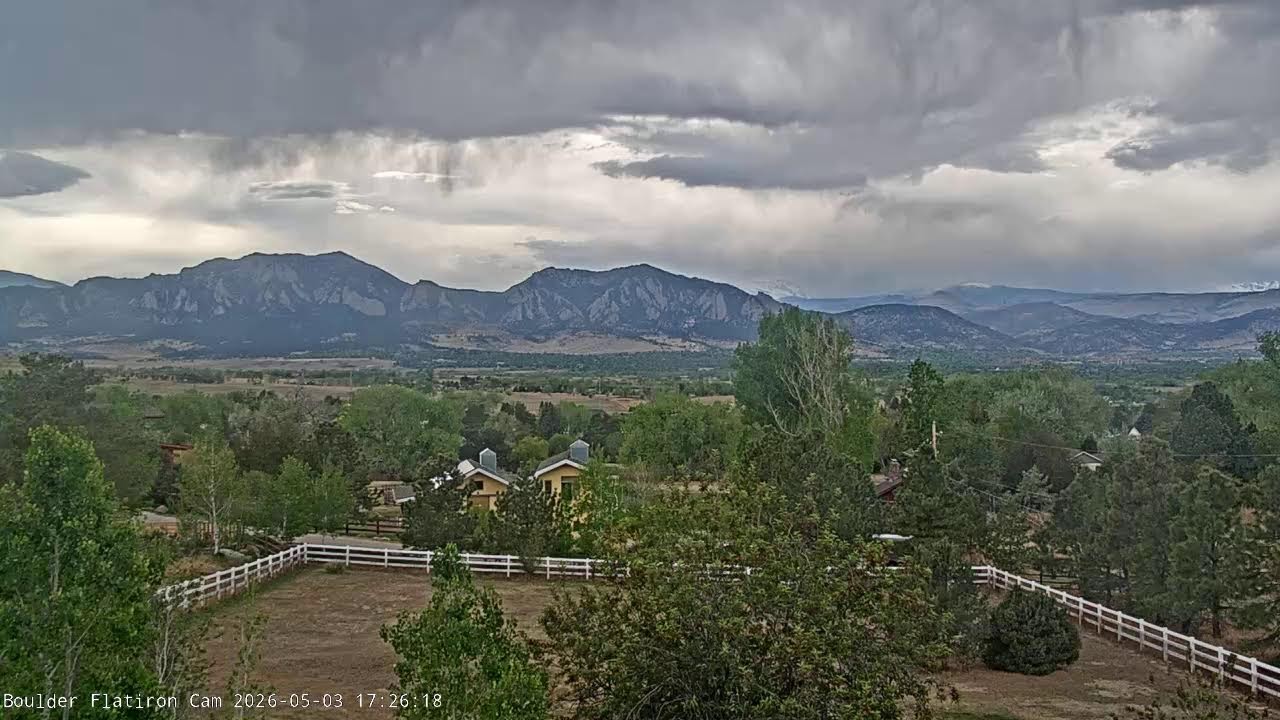
The Superior webcam in Superior, Colorado provides a real-time view of weather visibility, sky conditions, and regional travel conditions across the Boulder area. Positioned in Superior with a northwest-facing view, this camera overlooks Boulder, the Flatirons, the Indian Peaks, and Longs Peak, offering a wide perspective of the Front Range.
While not a highway-specific webcam, this location provides valuable insight into weather conditions that impact nearby travel routes such as US-36, CO-93, and CO-7. At this location in Superior, viewers can observe cloud cover, incoming storms, wind patterns, and visibility across a large portion of Boulder County. These conditions often directly affect traffic flow and road safety on surrounding highways.
Traffic near Superior is typically moderate, especially along US-36, which serves as a major commuter route between Denver and Boulder. Weather changes visible from this webcam, such as approaching storms or reduced visibility, can quickly impact travel conditions on these routes.
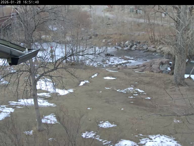
The Coal Creek Trail is visible in the foreground along with Old Town Superior, providing a ground-level reference point for current conditions. Whether the terrain appears dry, wet, or snow-covered can give drivers an early indication of road conditions in the area.
This Superior webcam is especially useful for monitoring large-scale weather patterns and visibility before traveling into Boulder or toward the foothills and mountains.
About Superior and the Viewing Area
Superior, Colorado is a growing community located in Boulder County, positioned between Denver and Boulder along the US-36 corridor. Known for its convenient location and access to outdoor recreation, Superior offers expansive views of the surrounding Front Range landscape.
From this location in Superior, the webcam captures a wide northwest-facing view that includes Boulder, the Flatirons, the Indian Peaks, and Longs Peak. These landmarks define the region and play a major role in local weather patterns. The mountains often influence storm development, wind conditions, and visibility across the area.
The Coal Creek Trail runs through the foreground of the view, along with Old Town Superior, providing a local reference for ground conditions. This combination of foreground and distant views makes the webcam especially useful for understanding both immediate and regional weather conditions.
Nearby highways such as US-36, CO-93, and CO-7 connect Superior to Boulder, Denver, and the foothills. These routes are heavily used by commuters and travelers, making weather visibility an important factor in travel planning.
Superior experiences a variety of weather conditions, including sunny days, strong winds, thunderstorms, and winter snowfall. The elevated vantage point of this webcam makes it ideal for observing changes in weather across the region.
See Boulder Area Webcams



Why Use This Webcam
• Check real-time weather visibility across Boulder and the Front Range
• Monitor cloud cover, storms, and incoming weather systems
• View conditions affecting nearby highways including US-36 and CO-93
• Get a visual reference of ground conditions via Coal Creek Trail
• Enjoy a scenic live view of the Flatirons, Indian Peaks, and Longs Peak
FAQ
Where is this webcam located?
This webcam is located in Superior, Colorado, with a northwest-facing view toward Boulder and the surrounding mountains.
Can I check road conditions with this webcam?
While not a direct traffic camera, it provides a clear view of weather and visibility conditions that impact nearby roads.
Does the webcam show weather conditions?
Yes, the webcam shows real-time weather conditions including clouds, snow, and visibility.
Is the webcam live?
The webcam provides live or frequently updated images showing current conditions.
More Colorado Webcams